
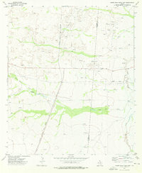
1973 Map of Rustler Hills
USGS Topo · Published 1976About this map
Rustler Hills dominate the landscape of Culberson County in the early 1970s, revealing an arid terrain defined by industrial development and critical water management. The presence of the Sulfur Plant and nearby Sulfur Wells points to the specialized extraction economy of West Texas, supported by the Atchison Topeka and Santa Fe railroad line running through the eastern edge of the survey.
Find a feature on this map
23 named features on this map. Tap any name to fly to it.
Don’t see what you’re looking for? This feature index may not catch every label — zoom into the map to look around manually.
Map Details
Editions of this 1973 Rustler Hills Map
This is the sole edition of this map. No revisions or reprints were ever made.
Other maps of this area

1954 · Van Horn
USGS Topo · 1:250,000

1958 · Van Horn
USGS Topo · 1:250,000

1973 · Two Mill Draw West
USGS Topo · 1:24,000

1973 · Seven L Peak NE
USGS Topo · 1:24,000

1973 · Screw Bean Draw West
USGS Topo · 1:24,000
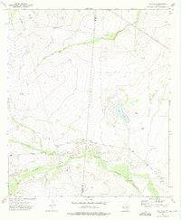
1973 · Dry Lake
USGS Topo · 1:24,000
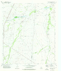
1973 · Derrick Draw
USGS Topo · 1:24,000
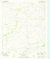
1973 · Castile Hill
USGS Topo · 1:24,000
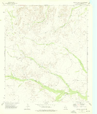
1973 · Two Mill Draw East
USGS Topo · 1:24,000
1973 · Screw Bean Draw East
USGS Topo · 1:24,000