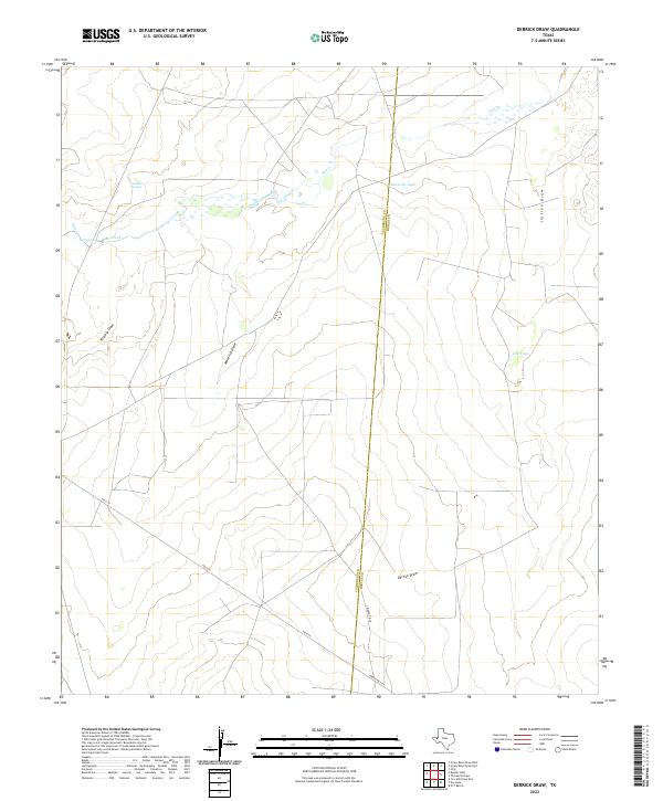
2022 Map of Derrick Draw
USGS Topo · Published 2022About this map
The arid ranching country along the Culberson and Reeves County line is defined by a series of drainage systems and isolated water sources. This high-desert landscape is carved by significant topographical features such as Derrick Draw and Incline Draw, which serve as primary conduits for seasonal runoff. Human and animal life in this environment centers on reliable water points, including the naturally occurring Virginia Springs and Salt Spring, alongside constructed catchment basins like Maverick Tank and Cox Tank.
Find a feature on this map
14 named features on this map. Tap any name to fly to it.
Don’t see what you’re looking for? This feature index may not catch every label — zoom into the map to look around manually.
Map Details
Editions of this 2022 Derrick Draw Map
This is the sole edition of this map. No revisions or reprints were ever made.
Other maps of this area

1931 · Orla
USGS Topo · 1:62,500

1954 · Van Horn
USGS Topo · 1:250,000

1954 · Pecos
USGS Topo · 1:250,000

1957 · Pecos
USGS Topo · 1:250,000

1958 · Van Horn
USGS Topo · 1:250,000

1968 · Threemile Draw
USGS Topo · 1:24,000

1968 · Orla
USGS Topo · 1:24,000

1968 · W T Ranch
USGS Topo · 1:24,000

1973 · Rustler Hills
USGS Topo · 1:24,000

1973 · Screw Bean Draw West
USGS Topo · 1:24,000