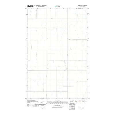
2011 Map of Derrick NW
USGS Topo · Published 2011About this map
Ramsey County’s agricultural landscape is defined by the rigid section-line grid that organizes the North Dakota prairie. This survey shows the region as it appeared in the early 21st century, dominated by extensive wetlands and prairie potholes that interrupt the straight paths of local thoroughfares like 90th Ave NE and 93rd Ave NE. The terrain is characterized by these numerous small bodies of water, which complicate the otherwise uniform development of the rural road network. Navigating through the area relies on a series of numbered routes such as 74th St NE and 70th St NE, which facilitate movement between the dispersed farmsteads of this northern plains environment. The map captures a moment of modern land use where traditional land divisions must reconcile with the natural hydrology of the glaciated plains.
Find a feature on this map
13 named features on this map. Tap any name to fly to it.
Don’t see what you’re looking for? This feature index may not catch every label — zoom into the map to look around manually.
Map Details
Editions of this 2011 Derrick NW Map
This is the sole edition of this map. No revisions or reprints were ever made.
Other maps of this area

1953 · Devils Lake
USGS Topo · 1:250,000

1956 · Devils Lake
USGS Topo · 1:250,000

1957 · Starkweather SE
USGS Topo · 1:24,000

1962 · Starkweather NE
USGS Topo · 1:24,000

1970 · Alsen SE
USGS Topo · 1:24,000

1970 · Hampden
USGS Topo · 1:24,000

1971 · Munich SE
USGS Topo · 1:24,000

1972 · Derrick NW
USGS Topo · 1:24,000

1972 · Derrick
USGS Topo · 1:24,000

1972 · Derrick SE
USGS Topo · 1:24,000