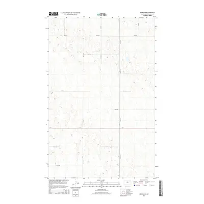
2014 Map of Derrick NW
USGS Topo · Published 2014About this map
Glacial potholes and small, unnamed wetlands define the prairie landscape of north-central Ramsey County in this 2014 survey. The area is dominated by a precise section-line road network, reflecting the enduring legacy of the Public Land Survey System in North Dakota's agricultural heartland. Nd-17 provides the primary east-west passage across this undulating terrain, which is otherwise navigated by a grid of unpaved local routes including 92nd Ave NE and 90th Ave NE. While the map is devoid of named settlements or civic institutions, the high density of small basins and intricate contour work at five-foot intervals offers a detailed look at the local hydrology and drainage patterns. This document captures a moment of modern land use where historical townships like 74th St Ne and 67th St Ne remain anchored by their surveyed boundaries.
Find a feature on this map
13 named features on this map. Tap any name to fly to it.
Don’t see what you’re looking for? This feature index may not catch every label — zoom into the map to look around manually.
Map Details
Editions of this 2014 Derrick NW Map
This is the sole edition of this map. No revisions or reprints were ever made.
Other maps of this area

1953 · Devils Lake
USGS Topo · 1:250,000

1956 · Devils Lake
USGS Topo · 1:250,000

1957 · Starkweather SE
USGS Topo · 1:24,000

1962 · Starkweather NE
USGS Topo · 1:24,000

1970 · Alsen SE
USGS Topo · 1:24,000

1970 · Hampden
USGS Topo · 1:24,000

1971 · Munich SE
USGS Topo · 1:24,000

1972 · Derrick NW
USGS Topo · 1:24,000

1972 · Derrick
USGS Topo · 1:24,000

1972 · Derrick SE
USGS Topo · 1:24,000