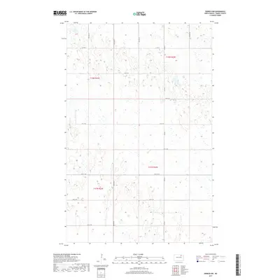
2017 Map of Derrick NW
USGS Topo · Published 2017About this map
Glacial prairie potholes and seasonal wetlands dominate this portion of Ramsey County, reflecting the characteristic geography of the North Dakota drift plain. The section lines of the Public Land Survey System define the movement across this landscape, where gravel roads like Co Hwy 9 and a network of arterial routes such as 73rd St NE and 67th St NE provide the only reliable access through the marshy terrain. The map meticulously documents these water bodies, which are critical for local drainage and migratory bird habitats.
Find a feature on this map
12 named features on this map. Tap any name to fly to it.
Don’t see what you’re looking for? This feature index may not catch every label — zoom into the map to look around manually.
Map Details
Editions of this 2017 Derrick NW Map
This is the sole edition of this map. No revisions or reprints were ever made.
Other maps of this area

1953 · Devils Lake
USGS Topo · 1:250,000

1956 · Devils Lake
USGS Topo · 1:250,000

1957 · Starkweather SE
USGS Topo · 1:24,000

1962 · Starkweather NE
USGS Topo · 1:24,000

1970 · Alsen SE
USGS Topo · 1:24,000

1970 · Hampden
USGS Topo · 1:24,000

1971 · Munich SE
USGS Topo · 1:24,000

1972 · Derrick NW
USGS Topo · 1:24,000

1972 · Derrick
USGS Topo · 1:24,000

1972 · Derrick SE
USGS Topo · 1:24,000