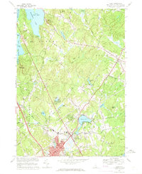
1968 Map of Derry
USGS Topo · Published 1971About this map
Derry and its surrounding townships of Auburn and Chester are captured during a period of transition in the late 1960s. The landscape is defined by its water bodies and educational institutions, with Massabesic Lake dominating the northwest corner and Beaver Lake serving as a central landmark for the town. Academic sites such as Pinkerton Academy and White Pines College highlight the area's local significance as a center for learning.
Find a feature on this map
70 named features on this map. Tap any name to fly to it.
Don’t see what you’re looking for? This feature index may not catch every label — zoom into the map to look around manually.
Map Details
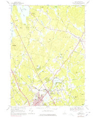
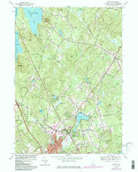
Editions of this 1968 Derry Map
3 editions found
Other maps of this area

1888 · Haverhill
USGS Topo · 1:62,500

1890 · Haverhill
USGS Topo · 1:62,500

1893 · Haverhill
USGS Topo · 1:62,500

1905 · Manchester
USGS Topo · 1:62,500

1917 · Mt. Pawtuckaway
USGS Topo · 1:62,500

1919 · Mt. Pawtuckaway
USGS Topo · 1:62,500

1921 · Suncook
USGS Topo · 1:62,500

1935 · Haverhill
USGS Topo · 1:62,500

1939 · Mt. Pawtuckaway
USGS Topo · 1:62,500

1941 · Manchester
USGS Topo · 1:62,500