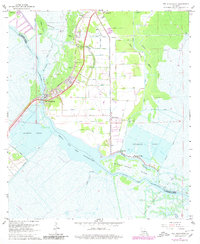
1967 Map of Des Allemands
USGS Topo · Published 1980About this map
Bayou des Allemands serves as the central artery for this coastal landscape, where the intricate network of the Louisiana wetlands meets industrial expansion. The settlement of Des Allemands sits at a critical crossing point of the Southern Pacific railroad, flanked by the Paradis Oil and Gas Field to the north and the Bayou des Allemands Oil and Gas Field to the south. This era is defined by an extensive system of numbered waterways, from Canal No 24 down to Canal No 9, which cut through the marsh to facilitate resource extraction and drainage. Local community life is anchored by landmarks like Great Antioch Church and the Bayou Gauche Cemetery, while the presence of a Refinery and a Shell Mound Gem speaks to the region's complex geological and industrial history.
Find a feature on this map
61 named features on this map. Tap any name to fly to it.
Don’t see what you’re looking for? This feature index may not catch every label — zoom into the map to look around manually.
Map Details
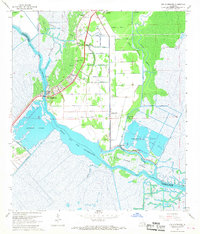
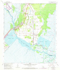
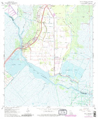
Editions of this 1967 Des Allemands Map
4 editions found
Other maps of this area

1891 · Hahnville
USGS Topo · 1:62,500

1892 · Lac Des Allemands
USGS Topo · 1:62,500

1892 · Cut-Off
USGS Topo · 1:62,500

1892 · Houma
USGS Topo · 1:62,500

1932 · Lac Des Allemands SE
USGS Topo · 1:31,680

1932 · Houma NE
USGS Topo · 1:31,680

1932 · Hahnville NW
USGS Topo · 1:31,680

1932 · Lac Des Allemands NE
USGS Topo · 1:31,680

1932 · Hahnville SW
USGS Topo · 1:31,680

1932 · Hahnville NE
USGS Topo · 1:31,680