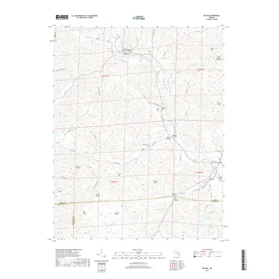
2017 Map of Des Arc
USGS Topo · Published 2017About this map
Annapolis serves as the primary hub in this Missouri landscape, situated near the headwaters of Big Creek. The terrain is characterized by the southern edge of the Saint Francois Mountains, where elevations like Stony Mtn and Lewis Mtn rise above a network of hollows including Sutton Hollow, McCue Hollow, and Brushy Hollow. This area, where Iron, Reynolds, and Wayne counties converge, reflects a history of small-scale settlement and rural development.
Find a feature on this map
75 named features on this map. Tap any name to fly to it.
Don’t see what you’re looking for? This feature index may not catch every label — zoom into the map to look around manually.
Map Details
Editions of this 2017 Des Arc Map
This is the sole edition of this map. No revisions or reprints were ever made.
Other maps of this area

1926 · Des Arc
USGS Topo · 1:62,500

1929 · Des Arc
USGS Topo · 1:62,500

1932 · Piedmont
USGS Topo · 1:62,500

1935 · Piedmont
USGS Topo · 1:62,500

1943 · Ellington
USGS Topo · 1:62,500

1943 · Lesterville
USGS Topo · 1:62,500

1945 · Ellington
USGS Topo · 1:62,500

1946 · Lesterville
USGS Topo · 1:62,500

1949 · Rolla
USGS Topo · 1:250,000

1953 · Rolla
USGS Topo · 1:250,000