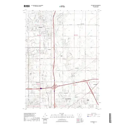
2018 Map of Des Moines NE
USGS Topo · Published 2018About this map
Ankeny and its surrounding communities in Polk County are documented during a period of significant suburban integration and infrastructure development. The transition from smaller, historically distinct settlements like Berwick, Saylor, and Enterprise into the modern urban fabric is evident, with the road networks of Ankeny expanding southward toward Des Moines. The northern reaches of the state capital appear along the southern edge of the sheet, including neighborhoods such as Capitol Heights and Bowsher.
Find a feature on this map
118 named features on this map. Tap any name to fly to it.
Don’t see what you’re looking for? This feature index may not catch every label — zoom into the map to look around manually.
Map Details
Editions of this 2018 Des Moines NE Map
This is the sole edition of this map. No revisions or reprints were ever made.
Other maps of this area

1905 · Des Moines
USGS Topo · 1:62,500

1907 · Des Moines
USGS Topo · 1:62,500

1911 · Slater
USGS Topo · 1:62,500

1913 · Slater
USGS Topo · 1:62,500

1930 · Mitchellville
USGS Topo · 1:62,500

1954 · Des Moines
USGS Topo · 1:250,000

1956 · Des Moines
USGS Topo · 1:250,000

1956 · Des Moines NW
USGS Topo · 1:24,000

1956 · Des Moines SW
USGS Topo · 1:24,000

1956 · Des Moines SE
USGS Topo · 1:24,000