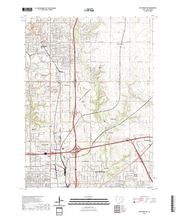
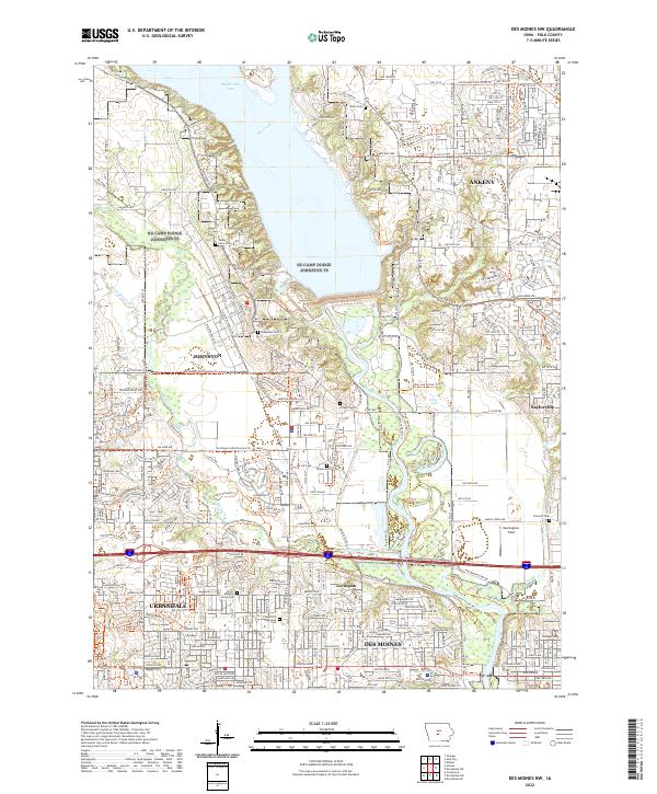
2022 Map of Des Moines NE
USGS Topo · Published 2022About this map
Ankeny and its surrounding suburban and rural landscape define this section of Polk County. The city serves as a primary hub, home to the Faith Baptist Bible College and Theological Seminary and the Des Moines Area Community College - Ankeny Campus. A network of multi-use paths like the High Trestle Trl and Gay Lea Wilson Trl cuts through the terrain, tracing modern recreational routes across traditional agricultural lands.
Find a feature on this map
35 named features on this map. Tap any name to fly to it.
Don’t see what you’re looking for? This feature index may not catch every label — zoom into the map to look around manually.
Map Details
Editions of this 2022 Des Moines NE Map
This is the sole edition of this map. No revisions or reprints were ever made.
Historical Maps of Norwoodville Through Time
12 maps found
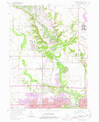
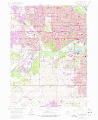
1956 Des Moines NE
Polk County, IA
1956 Des Moines NW
Polk County, IA
1956 Des Moines SE
Polk County, IA
1956 Des Moines SW
Polk County, IA
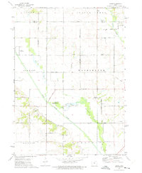
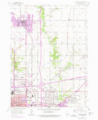
1972 Loring
Polk County, IA

1972 Rising Sun
Polk County, IA
2022 Des Moines NE
Polk County, IA
2022 Des Moines NW
Polk County, IA
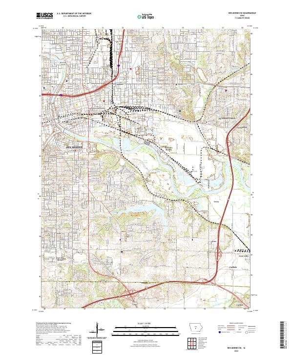
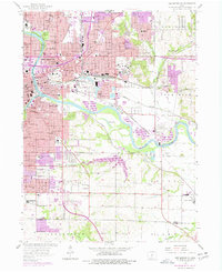
2022 Des Moines SE
Polk County, IA
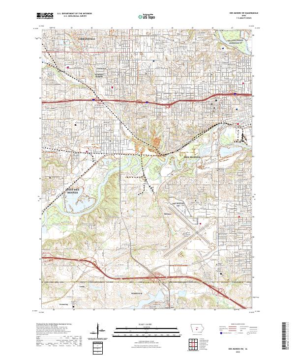
2022 Des Moines SW
Polk County, IA
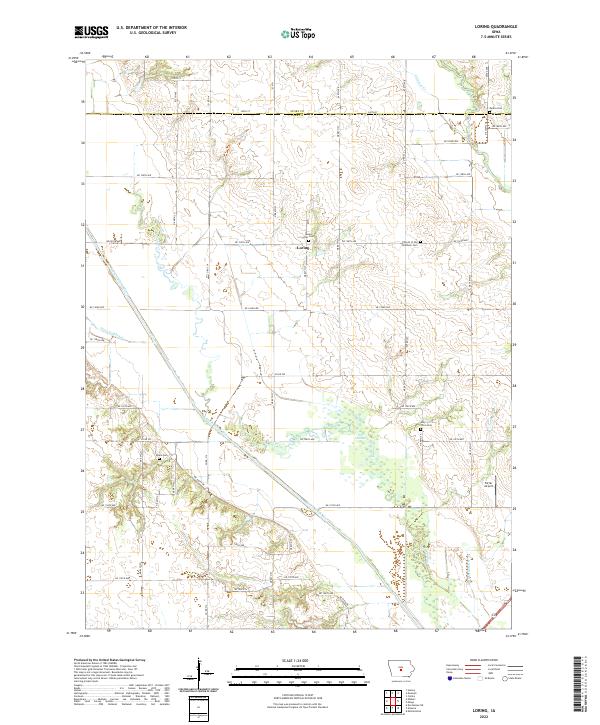
2022 Loring
Polk County, IA
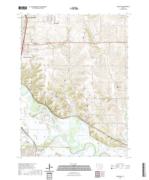
2022 Rising Sun
Polk County, IA