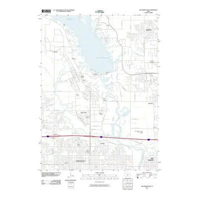
2010 Map of Des Moines NW
USGS Topo · Published 2010About this map
Saylorville Lake and the Saylorville Dam dominate the northern landscape of this quadrangle, shaping the drainage of the Des Moines River and Beaver Creek through the suburban expansion of Polk County. The map documents the significant infrastructure surrounding Camp Dodge and the nearby Camp Moingona, illustrating the convergence of military installations and civic development during the early 21st century. Highlighting the area's agricultural and academic roots, the Iowa State University Experimental Farm sits north of Saylorville.
Find a feature on this map
66 named features on this map. Tap any name to fly to it.
Don’t see what you’re looking for? This feature index may not catch every label — zoom into the map to look around manually.
Map Details
Editions of this 2010 Des Moines NW Map
This is the sole edition of this map. No revisions or reprints were ever made.
Other maps of this area

1905 · Des Moines
USGS Topo · 1:62,500

1907 · Des Moines
USGS Topo · 1:62,500

1908 · Waukee
USGS Topo · 1:62,500

1911 · Madrid
USGS Topo · 1:62,500

1911 · Slater
USGS Topo · 1:62,500

1913 · Slater
USGS Topo · 1:62,500

1914 · Madrid
USGS Topo · 1:62,500

1954 · Des Moines
USGS Topo · 1:250,000

1956 · Des Moines
USGS Topo · 1:250,000

1956 · Des Moines NW
USGS Topo · 1:24,000