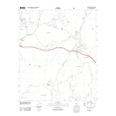
2012 Map of Descanso
USGS Topo · Published 2012About this map
Pine Valley and Descanso anchor this mountain landscape as it appeared in the early 21st century, showing the established residential patterns along the Sweetwater River and Pine Valley Creek. The map reveals a community defined by its connection to public lands and recreation, with numerous trailheads and campgrounds such as the Noble Canyon Trailhead and Guatay Campground bordering these upland settlements. Significant local landmarks include the Pine Creek Bible Conference Ground and the Harbaugh Ranch, reflecting the varied agricultural and institutional history of the region.
Find a feature on this map
67 named features on this map. Tap any name to fly to it.
Don’t see what you’re looking for? This feature index may not catch every label — zoom into the map to look around manually.
Map Details
Editions of this 2012 Descanso Map
This is the sole edition of this map. No revisions or reprints were ever made.
Other maps of this area

1903 · Cuyamaca
USGS Topo · 1:125,000

1904 · Southern California Sheet No. 2
USGS Topo · 1:250,000

1931 · Carrizo
USGS Topo · 1:125,000

1939 · Campo
USGS Topo · 1:62,500

1942 · Potrero
USGS Topo · 1:48,000

1942 · Campo
USGS Topo · 1:62,500

1942 · Cuyapaipe
USGS Topo · 1:62,500

1942 · Cuyamaca Peak
USGS Topo · 1:62,500

1944 · Potrero
USGS Topo · 1:62,500

1944 · Cuyamaca Peak
USGS Topo · 1:62,500