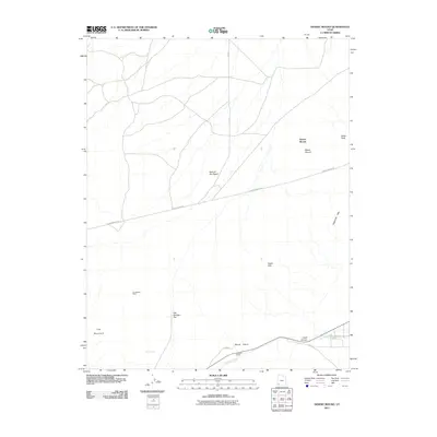
2011 Map of Desert Mound
USGS Topo · Published 2011About this map
Iron Mountain and the Homestake Mine anchor this topographical study of a rugged mineral-rich corridor in southwestern Utah. The landscape is defined by its distinct landforms, including the high point at Swett Peak and the unique geological formation known as the Neck of the Desert. Settlement in this arid region is sparse, centered on the Woolsey Ranch and the open expanse of Oak Springs Flat near Oak Springs.
Find a feature on this map
16 named features on this map. Tap any name to fly to it.
Don’t see what you’re looking for? This feature index may not catch every label — zoom into the map to look around manually.
Map Details
Editions of this 2011 Desert Mound Map
This is the sole edition of this map. No revisions or reprints were ever made.
Other maps of this area

1885 · St. George
USGS Topo · 1:250,000

1891 · St. George
USGS Topo · 1:250,000

1949 · Cedar City NW
USGS Topo · 1:24,000

1950 · Cedar City NW
USGS Topo · 1:24,000

1950 · Kanarraville
USGS Topo · 1:24,000

1950 · Antelope Peak
USGS Topo · 1:24,000

1950 · Enoch
USGS Topo · 1:62,500

1950 · Iron Mountain
USGS Topo · 1:62,500

1950 · Cedar City
USGS Topo · 1:62,500

1950 · The Three Peaks
USGS Topo · 1:24,000