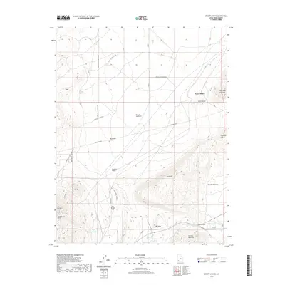
2020 Map of Desert Mound
USGS Topo · Published 2020About this map
Desert Mound stands as a focal point in this high-desert landscape, where the southern reaches of the Escalante Desert meet the rising foothills of the Harmony Mountains. This 2020 survey documents an area shaped by its industrial and geological character, notably defined by the presence of Iron Mtn and the topographical prominence of Mt Claron. The map traces a network of specialized access roads and rail spurs, such as the Mount Claron - Comstock line, which reflect the region's historical and ongoing connection to mining operations.
Find a feature on this map
30 named features on this map. Tap any name to fly to it.
Don’t see what you’re looking for? This feature index may not catch every label — zoom into the map to look around manually.
Map Details
Editions of this 2020 Desert Mound Map
This is the sole edition of this map. No revisions or reprints were ever made.
Other maps of this area

1885 · St. George
USGS Topo · 1:250,000

1891 · St. George
USGS Topo · 1:250,000

1949 · Cedar City NW
USGS Topo · 1:24,000

1950 · Cedar City NW
USGS Topo · 1:24,000

1950 · Kanarraville
USGS Topo · 1:24,000

1950 · Antelope Peak
USGS Topo · 1:24,000

1950 · Enoch
USGS Topo · 1:62,500

1950 · Iron Mountain
USGS Topo · 1:62,500

1950 · Cedar City
USGS Topo · 1:62,500

1950 · The Three Peaks
USGS Topo · 1:24,000