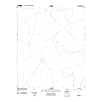
2010 Map of Desert NE
USGS Topo · Published 2010About this map
Borrego Tank remains a focal point for water management in this arid stretch of the Otero County desert during the early twenty-first century. The landscape is defined by a sparse network of local and four-wheel-drive roads that traverse the basin, indicating a terrain where infrastructure is minimal and dictated by the necessities of ranching or resource access. Apart from the established livestock watering hole at Borrego Tank, the map reveals a vast, open topography lacking formal settlements or permanent structures. This survey, conducted by the U.S. Geological Survey in 2010, captures the persistent character of New Mexico's rangelands, where subtle water features and primitive tracks provide the only landmarks for navigation across the high desert floor.
Find a feature on this map
1 named feature on this map. Tap any name to fly to it.
Don’t see what you’re looking for? This feature index may not catch every label — zoom into the map to look around manually.
Map Details
Editions of this 2010 Desert NE Map
This is the sole edition of this map. No revisions or reprints were ever made.
Other maps of this area

1940 · Bassett Lake
USGS Topo · 1:62,500

1940 · Orogrande
USGS Topo · 1:62,500

1941 · Desert
USGS Topo · 1:62,500

1943 · Pendejo Wash
USGS Topo · 1:62,500

1943 · Desert
USGS Topo · 1:62,500

1943 · Bassett Lake
USGS Topo · 1:62,500

1943 · Orogrande
USGS Topo · 1:62,500

1947 · Desert NE
USGS Topo · 1:24,000

1948 · El Wood
USGS Topo · 1:24,000
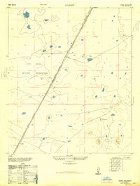
1948 · Desert
USGS Topo · 1:24,000