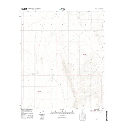
2013 Map of Desert NE
USGS Topo · Published 2013About this map
Tularosa Valley dominates this landscape in Otero County, where the arid basin floor meets the rising slopes of the high desert. This 2013 survey from the U.S. Geological Survey documents a remote section of the valley primarily defined by its water management features and public land divisions. The infrastructure here is sparse, characterized by essential stock or water catchments such as Alvarado Tank Number Two and Borrego Tank, which serve as vital landmarks in an otherwise open expanse.
Find a feature on this map
9 named features on this map. Tap any name to fly to it.
Don’t see what you’re looking for? This feature index may not catch every label — zoom into the map to look around manually.
Map Details
Editions of this 2013 Desert NE Map
This is the sole edition of this map. No revisions or reprints were ever made.
Other maps of this area

1940 · Bassett Lake
USGS Topo · 1:62,500

1940 · Orogrande
USGS Topo · 1:62,500

1941 · Desert
USGS Topo · 1:62,500

1943 · Pendejo Wash
USGS Topo · 1:62,500

1943 · Desert
USGS Topo · 1:62,500

1943 · Bassett Lake
USGS Topo · 1:62,500

1943 · Orogrande
USGS Topo · 1:62,500

1947 · Desert NE
USGS Topo · 1:24,000

1948 · El Wood
USGS Topo · 1:24,000
1948 · Desert
USGS Topo · 1:24,000