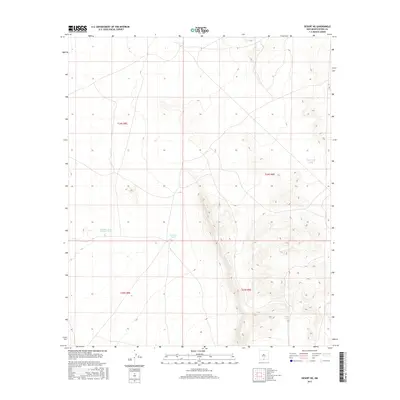
2017 Map of Desert NE
USGS Topo · Published 2017About this map
Borrego Tank serves as a central landmark in this arid stretch of Otero County, where water management is the primary sign of human activity. The terrain is defined by the high desert plains and organized by the Public Land Survey System, specifically within t24s r8e, t24s r9e, t25s r8e, and t25s r9e. These township and range divisions oversee a landscape largely devoid of dense settlement, punctuated instead by isolated catchment features like Alvarado Tank Number Two. The placement of School Tank and South Tank reflects a sparse but vital network of infrastructure designed to support livestock and land management in a region where natural surface water is rare. The elevation contours reveal the subtle shifts of the desert floor and rising foothills, mapping the precise topography of this quiet corner of New Mexico.
Find a feature on this map
8 named features on this map. Tap any name to fly to it.
Don’t see what you’re looking for? This feature index may not catch every label — zoom into the map to look around manually.
Map Details
Editions of this 2017 Desert NE Map
This is the sole edition of this map. No revisions or reprints were ever made.
Other maps of this area

1940 · Bassett Lake
USGS Topo · 1:62,500

1940 · Orogrande
USGS Topo · 1:62,500

1941 · Desert
USGS Topo · 1:62,500

1943 · Pendejo Wash
USGS Topo · 1:62,500

1943 · Desert
USGS Topo · 1:62,500

1943 · Bassett Lake
USGS Topo · 1:62,500

1943 · Orogrande
USGS Topo · 1:62,500

1947 · Desert NE
USGS Topo · 1:24,000

1948 · El Wood
USGS Topo · 1:24,000
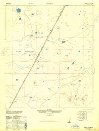
1948 · Desert
USGS Topo · 1:24,000