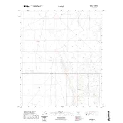
2020 Map of Desert NE
USGS Topo · Published 2020About this map
Alvarado Tank Number Two and Borrego Tank anchor this arid landscape in Otero County, where water management is central to the history of land use. This high-desert terrain is structured by the Public Land Survey System, as evidenced by the boundaries of t24s r8e, t24s r9e, t25s r8e, and t25s r9e. The map reflects a modern inventory of the area's topographical features and water resources, crucial for understanding the historical development of ranching and territorial expansion in New Mexico. The presence of these named catchment tanks highlights the necessity of human-engineered water sources in a region defined by its sparse natural hydrography.
Find a feature on this map
6 named features on this map. Tap any name to fly to it.
Don’t see what you’re looking for? This feature index may not catch every label — zoom into the map to look around manually.
Map Details
Editions of this 2020 Desert NE Map
This is the sole edition of this map. No revisions or reprints were ever made.
Other maps of this area

1940 · Bassett Lake
USGS Topo · 1:62,500

1940 · Orogrande
USGS Topo · 1:62,500

1941 · Desert
USGS Topo · 1:62,500

1943 · Pendejo Wash
USGS Topo · 1:62,500

1943 · Desert
USGS Topo · 1:62,500

1943 · Bassett Lake
USGS Topo · 1:62,500

1943 · Orogrande
USGS Topo · 1:62,500

1947 · Desert NE
USGS Topo · 1:24,000

1948 · El Wood
USGS Topo · 1:24,000
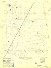
1948 · Desert
USGS Topo · 1:24,000