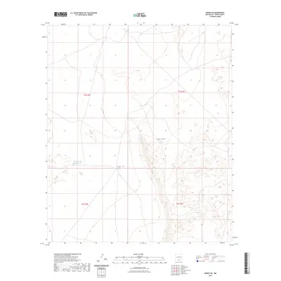
2023 Map of Desert NE
USGS Topo · Published 2023About this map
Fort Bliss dominates this arid landscape in southern New Mexico, where the infrastructure of a sprawling military reservation meets the necessity of desert water management. The terrain is marked by essential livestock or wildlife water sources, including Alvarado Tank Number Two and Borrego Tank, which provide critical reference points in an otherwise sparsely developed region. These man-made tanks are the primary landmarks in a landscape defined by its grid-based township and range organization, including sections of t24s r8e and t25s r9e. The map illustrates the specialized land use within military boundaries, showing how natural topography and essential water improvements dictate the layout of this Otero County region during the early twenty-first century.
Find a feature on this map
7 named features on this map. Tap any name to fly to it.
Don’t see what you’re looking for? This feature index may not catch every label — zoom into the map to look around manually.
Map Details
Editions of this 2023 Desert NE Map
This is the sole edition of this map. No revisions or reprints were ever made.
Other maps of this area

1940 · Bassett Lake
USGS Topo · 1:62,500

1940 · Orogrande
USGS Topo · 1:62,500

1941 · Desert
USGS Topo · 1:62,500

1943 · Pendejo Wash
USGS Topo · 1:62,500

1943 · Desert
USGS Topo · 1:62,500

1943 · Bassett Lake
USGS Topo · 1:62,500

1943 · Orogrande
USGS Topo · 1:62,500

1947 · Desert NE
USGS Topo · 1:24,000

1948 · El Wood
USGS Topo · 1:24,000
1948 · Desert
USGS Topo · 1:24,000