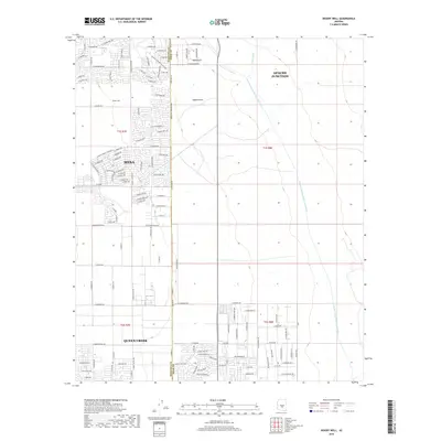
2018 Map of Desert Well
USGS Topo · Published 2018About this map
The expanding suburban footprint of the East Valley is captured in this 2018 survey, centered on the intersection of Mesa, Apache Junction, and Queen Creek. The landscape is a mix of dense residential development and open desert terrain, marked by the prominent line of the Central Arizona Project Aqueduct cutting across the eastern half of the map. While new roads like E Ray Rd and Williams Field Rd indicate modern growth, the area’s ranching and natural history remain visible through landmarks like Desert Well and the geological formation of Hawk Rock. The seasonal watercourses of Weekes Wash and Siphon Draw drain the land towards the west, illustrating the vital role of water management in this arid region where the Maricopa and Pinal County line splits the territory.
Find a feature on this map
106 named features on this map. Tap any name to fly to it.
Don’t see what you’re looking for? This feature index may not catch every label — zoom into the map to look around manually.
Map Details
Editions of this 2018 Desert Well Map
This is the sole edition of this map. No revisions or reprints were ever made.
Other maps of this area

1900 · Florence
USGS Topo · 1:125,000

1902 · Florence
USGS Topo · 1:125,000

1904 · Desert Well
USGS Topo · 1:62,500

1906 · Desert Well
USGS Topo · 1:62,500

1907 · Sacaton
USGS Topo · 1:62,500

1954 · Mesa
USGS Topo · 1:250,000

1956 · Sacaton NE
USGS Topo · 1:24,000
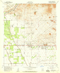
1956 · Buckhorn
USGS Topo · 1:24,000

1956 · Goldfield
USGS Topo · 1:24,000

1956 · Magma
USGS Topo · 1:24,000