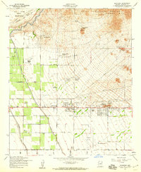
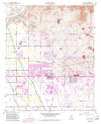
1956 Map of Buckhorn
USGS Topo · Published 1959About this map
The Salt River defines the northern boundary of this landscape, marking the transition from the Salt River Indian Reservation into the rugged southern foothills of the Usery Mts. Extensive citrus groves and agricultural developments appear in the west, contrasted by the emerging mid-century residential clusters of Sunshine Acres and Harmony Villa. Aviation plays a central role in the local economy and geography, with Falcon Field, Oasis Airport, and Gilbert Airfield all present. Near the junction of the Apache Trail and Bush Highway, a unique cultural detail emerges with both an Amphitheater (Aban'd) and a new Amphitheater (Under Construction) plotted near the Mountain View Cem. Grounded in a 1955 aerial survey, the map shows a sophisticated network of canals and power lines supporting the desert's mid-century expansion.
Find a feature on this map
37 named features on this map. Tap any name to fly to it.
Don’t see what you’re looking for? This feature index may not catch every label — zoom into the map to look around manually.
Map Details
Editions of this 1956 Buckhorn Map
5 editions found
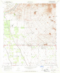
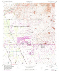
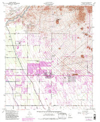
Other maps of this area

1904 · Camelback
USGS Topo · 1:62,500

1904 · Desert Well
USGS Topo · 1:62,500

1904 · Ft. McDowell
USGS Topo · 1:62,500

1906 · Camelsback
USGS Topo · 1:62,500

1906 · Ft. McDowell
USGS Topo · 1:62,500

1906 · Desert Well
USGS Topo · 1:62,500

1913 · Mesa
USGS Topo · 1:62,500

1915 · Mesa
USGS Topo · 1:62,500

1930 · Cave Creek
USGS Topo · 1:125,000

1939 · Cave Creek
USGS Topo · 1:125,000