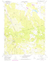
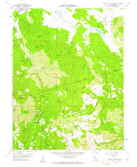
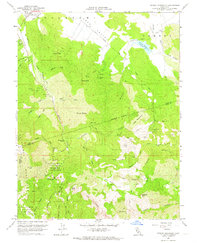
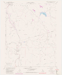
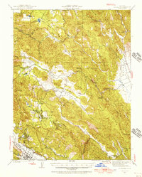
1958 Map of Detert Reservoir
USGS Topo · Published 1980About this map
Collayomi Valley and the northern reaches of the Mayacamas Mountains define this section of the California Coast Ranges as it appeared during the late 1950s, with updates reflecting the late 1970s. The map illustrates a landscape shaped by cinnabar and mercury mining, with several operations such as the Mirabel Mine, Silverado Mine, and Oat Hill Extension Mine scattered throughout the rugged ridges. These mines, many of which are situated near the boundary between Lake and Napa counties, are connected by historical routes like the Toll House Road and the Calistoga Grade.
Find a feature on this map
70 named features on this map. Tap any name to fly to it.
Don’t see what you’re looking for? This feature index may not catch every label — zoom into the map to look around manually.
Map Details
Editions of this 1958 Detert Reservoir Map
5 editions found

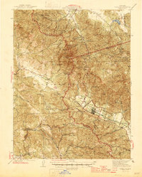
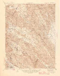
Other maps of this area

1927 · Calistoga
USGS Topo · 1:62,500
1942 · St. Helena
USGS Topo · 1:62,500

1943 · Morgan Valley
USGS Topo · 1:62,500

1943 · Calistoga
USGS Topo · 1:62,500

1944 · Morgan Valley
USGS Topo · 1:62,500
1945 · Calistoga
USGS Topo · 1:62,500
1945 · St. Helena
USGS Topo · 1:62,500
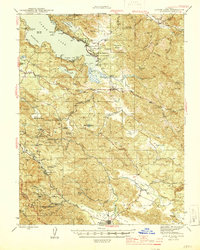
1945 · Lower Lake
USGS Topo · 1:62,500

1947 · Santa Rosa
USGS Topo · 1:250,000

1949 · Santa Rosa
USGS Topo · 1:250,000