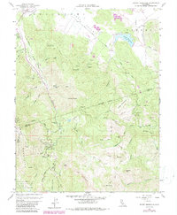
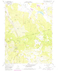
1958 Map of Detert Reservoir
USGS Topo · Published 1987About this map
Mallacomes Or Moristul Y Plan De Agua Caliente reveals the complex Mexican land grant history underlying this portion of Lake, Napa, and Sonoma Counties. The landscape is defined by the high elevations of the Mayacmas Mountains, where the Robert Louis Stevenson Memorial State Park now preserves the area surrounding Table Rock and the steep slopes of The Palisades.
Find a feature on this map
61 named features on this map. Tap any name to fly to it.
Don’t see what you’re looking for? This feature index may not catch every label — zoom into the map to look around manually.
Map Details
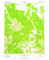
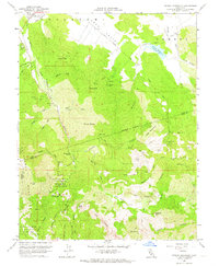
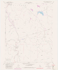
Editions of this 1958 Detert Reservoir Map
5 editions found
Other maps of this area

1927 · Calistoga
USGS Topo · 1:62,500

1942 · St. Helena
USGS Topo · 1:62,500

1943 · Morgan Valley
USGS Topo · 1:62,500

1943 · Calistoga
USGS Topo · 1:62,500

1944 · Morgan Valley
USGS Topo · 1:62,500

1945 · Calistoga
USGS Topo · 1:62,500

1945 · St. Helena
USGS Topo · 1:62,500

1945 · Lower Lake
USGS Topo · 1:62,500

1947 · Santa Rosa
USGS Topo · 1:250,000

1949 · Santa Rosa
USGS Topo · 1:250,000