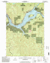
1994 Map of Detroit
USGS Topo · Published 1998About this map
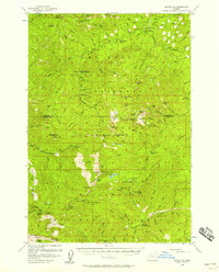
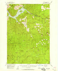
The North Santiam River and its impoundment at Detroit Lake dominate this mid-1990s landscape at the border of Linn and Marion counties. Centered on the town of Detroit, the map reveals a region defined by hydroelectric infrastructure and timber management, featuring the Detroit Dam, a Diversion Dam, and a Substation near the river’s original course. The topography is characterized by steep ridges like Kinney Ridge and Halls Ridge, falling away to the deep waters of the lake where recreational features such as Piety Island and various boat ramps are established. Much of the surrounding land is divided between the Santiam State Forest and the Willamette National Forest, with industrial activity marked by several Quarry sites and a Heliport indicating the logistical needs of this mountainous timber and water corridor.
Find a feature on this map
49 named features on this map. Tap any name to fly to it.
Don’t see what you’re looking for? This feature index may not catch every label — zoom into the map to look around manually.
Map Details
Editions of this 1994 Detroit Map
This is the sole edition of this map. No revisions or reprints were ever made.
Other maps of this area
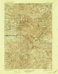
1929 · Mill City
USGS Topo · 1:125,000

1953 · Salem
USGS Topo · 1:250,000

1954 · Salem
USGS Topo · 1:250,000
1955 · Mill City
USGS Topo · 1:62,500
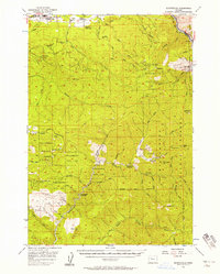
1956 · Quartzville
USGS Topo · 1:62,500
1956 · Battle Ax
USGS Topo · 1:62,500
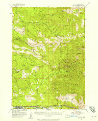
1956 · Detroit
USGS Topo · 1:62,500

1960 · Salem
USGS Topo · 1:250,000

1962 · Salem
USGS Topo · 1:250,000

1963 · Salem
USGS Topo · 1:250,000