
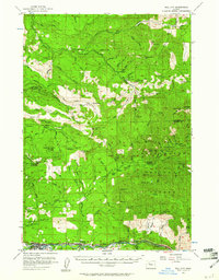
1955 Map of Mill City
USGS Topo · Published 1958About this map
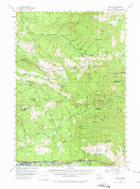
The North Fork Santiam River corridor serves as the primary artery for settlement and industry in this mid-1950s survey of the Oregon Cascades. The timber and mining economy is evident through the string of communities along the river, including Mill City, Gates, Minto, and Niagara. This survey captures the region just as the Big Cliff Dam was altering the river's character. High in the surrounding mountains, the map documents a legacy of resource extraction and forest management, from the Ogle Mtn Mine and Silver Star Mine to fire lookouts like Pechuck Lookout and the Lookout Mtn Lookout. The transition from the Molalla River drainage in the north to the Santiam River in the south is marked by prominent peaks such as Table Rock, Sweet Spring Mtn, and Elkhorn Mtn.
Find a feature on this map
93 named features on this map. Tap any name to fly to it.
Don’t see what you’re looking for? This feature index may not catch every label — zoom into the map to look around manually.
Map Details
Editions of this 1955 Mill City Map
3 editions found
Other maps of this area

1916 · Estacada
USGS Topo · 1:125,000

1929 · Mill City
USGS Topo · 1:125,000

1939 · Molalla
USGS Topo · 1:62,500

1940 · Molalla
USGS Topo · 1:62,500

1948 · Vancouver
USGS Topo · 1:250,000

1950 · Vancouver
USGS Topo · 1:250,000

1950 · Vancouver
USGS Topo · 1:250,000

1951 · Lyons
USGS Topo · 1:62,500

1951 · Snow Peak
USGS Topo · 1:62,500

1953 · Salem
USGS Topo · 1:250,000