
1963 Map of Salem
USGS Topo · Published 1963About this map
The Willamette Valley serves as the central corridor of this 1963 survey, anchored by the urban centers of Salem, Albany, and Corvallis. This region is defined by its educational and administrative hubs, featuring the campuses of Oregon State University and the University of Oregon, alongside several county seats. The landscape transitions from the agricultural heartland along the Willamette River to the timber-rich slopes of the Coast Range and the Cascade Range. To the east, the high peaks of the Cascades, including North Sister, Middle Sister, and South Sister, dominate the horizon within the Three Sisters Wilderness Area. Transport is dictated by the Southern Pacific Railroad and the newly developed Interstate 5, while the coastal margin features established maritime settlements like Newport and Waldport. The inclusion of the Siletz Indian Reservation and Adair Air Force Station highlights the diverse land use of mid-century Oregon.
Find a feature on this map
208 named features on this map. Tap any name to fly to it.
Don’t see what you’re looking for? This feature index may not catch every label — zoom into the map to look around manually.
Map Details
Editions of this 1963 Salem Map
This is the sole edition of this map. No revisions or reprints were ever made.
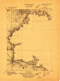
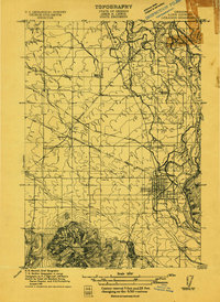
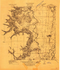
Other maps of this area

1909 · Harrisburg
USGS Topo · 1:31,680

1909 · Rowland
USGS Topo · 1:31,680

1909 · Elmira
USGS Topo · 1:62,500

1910 · Eugene
USGS Topo · 1:62,500
1911 · Brownsville
USGS Topo · 1:31,680
1911 · Lebanon
USGS Topo · 1:31,680

1911 · Monroe
USGS Topo · 1:31,680

1911 · Tangent
USGS Topo · 1:31,680
1911 · Inavale
USGS Topo · 1:31,680

1912 · Jefferson
USGS Topo · 1:31,680