
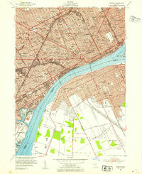
1940 Map of Detroit
USGS Topo · Published 1940About this map
Detroit serves as a dense industrial and civic hub on the eve of the Second World War, showing the intricate relationship between the Michigan shoreline and the neighboring Canadian communities of Windsor, Walkerville, and Sandwich. The waterfront is a complex network of transit, featuring the Ambassador Bridge, the Detroit-Windsor Tunnel, and various R R Ferry crossings that facilitate heavy cross-border traffic. Notable civic landmarks such as Wayne University, Briggs Stadium, and the Institute of Art are surrounded by a nearly solid grid of residential streets punctuated by dozens of neighborhood schools like Northeastern High Sch and Eastern High Sch. To the south, the industrial character of the region is evident at Zug Island and the Short Cut Canal, while the recreational expanse of Belle Isle Park provides a sharp contrast to the rail yards and depots like Union Depot that dominate the riverbank.
Find a feature on this map
124 named features on this map. Tap any name to fly to it.
Don’t see what you’re looking for? This feature index may not catch every label — zoom into the map to look around manually.
Map Details
Editions of this 1940 Detroit Map
This is the sole edition of this map. No revisions or reprints were ever made.
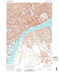
Historical Maps of New Center Through Time
16 maps found

1905 Detroit
Wayne County, MI

1918 Detroit
Wayne County, MI

1924 Detroit
Wayne County, MI

1934 Detroit
Wayne County, MI

1937 Detroit
Wayne County, MI
1940 Detroit
Wayne County, MI

1947 Detroit
Wayne County, MI
1952 Detroit
Wayne County, MI

1954 Detroit
Wayne County, MI

1954 Detroit
Wayne County, MI

1961 Detroit
Wayne County, MI

1965 Detroit
Wayne County, MI
1968 Detroit
Wayne County, MI

1985 Detroit
Wayne County, MI

1989 Detroit
Wayne County, MI
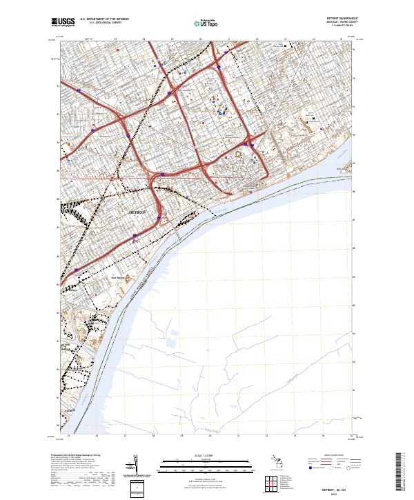
2023 Detroit
Wayne County, MI