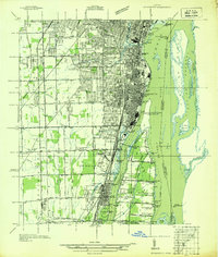
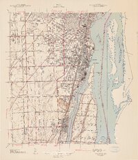
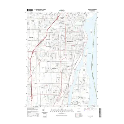
1936 Map of Wyandotte
USGS Topo · Published 1936About this map
The Detroit River and its intricate network of islands and industrial channels dominate this 1930s landscape of Wayne County. Along the western shore, the burgeoning settlements of Wyandotte, Lincoln Park, and Trenton show a dense grid of residential expansion and heavy rail infrastructure, including the New York Central RR and the Detroit and Toledo Shore Line RR. The maritime character of the region is evident in the engineered waterways like the Livingstone Channel and Trenton Channel that separate the mainland from Grosse Ile and Fighting Island.
Find a feature on this map
123 named features on this map. Tap any name to fly to it.
Don’t see what you’re looking for? This feature index may not catch every label — zoom into the map to look around manually.
Map Details
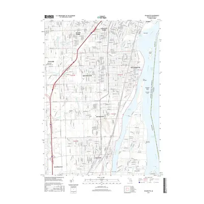
Editions of this 1936 Wyandotte Map
This is the sole edition of this map. No revisions or reprints were ever made.
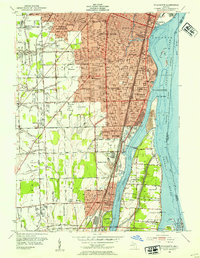
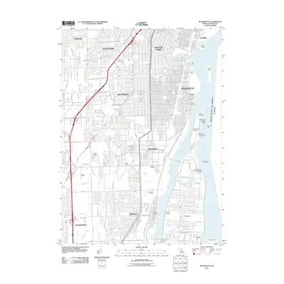
Historical Maps of Taylor Through Time
12 maps found
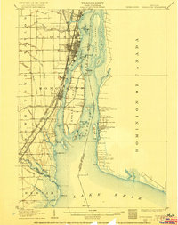
1906 Wyandotte
Wayne County, MI
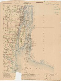
1912 Wyandotte
Wayne County, MI
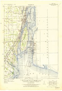
1929 Wyandotte
Wayne County, MI
1936 Wyandotte
Wayne County, MI
1942 Wyandotte
Wayne County, MI
1952 Wyandotte
Wayne County, MI
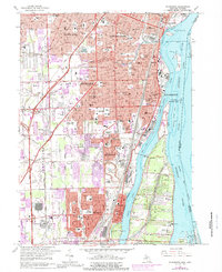
1967 Wyandotte
Wayne County, MI
2011 Wyandotte
Wayne County, MI
2014 Wyandotte
Wayne County, MI
2017 Wyandotte
Wayne County, MI
2019 Wyandotte
Wayne County, MI
2023 Wyandotte
Wayne County, MI