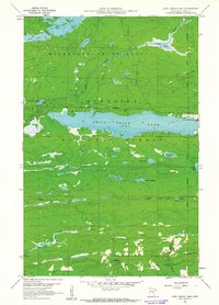
1960 Map of Devil Track Lake
USGS Topo · Published 1962About this map
Devil Track Lake serves as the central anchor of this 1960s landscape, illustrating the intersection of recreation and aviation in the North Woods. The shoreline features the Devil Lake Campground on its northern bank, while the eastern edge highlights the regional infrastructure of the Grand Marais-Devil Track Airport and the Sky Port Seaplane Base. These features point to a mid-century era when the wilderness was increasingly accessible to travelers and pilots.
Find a feature on this map
25 named features on this map. Tap any name to fly to it.
Don’t see what you’re looking for? This feature index may not catch every label — zoom into the map to look around manually.
Map Details
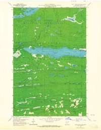
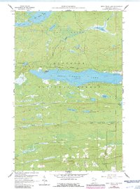
Editions of this 1960 Devil Track Lake Map
3 editions found
Other maps of this area

1919 · Brule Lake
USGS Topo · 1:62,500

1919 · Grand Marais
USGS Topo · 1:62,500

1919 · Lutsen
USGS Topo · 1:62,500

1954 · Two Harbors
USGS Topo · 1:250,000

1957 · Two Harbors
USGS Topo · 1:250,000

1958 · Two Harbors
USGS Topo · 1:250,000

1958 · Deer Yard Lake
USGS Topo · 1:24,000

1958 · Good Harbor Bay
USGS Topo · 1:24,000

1959 · Pine Mountain
USGS Topo · 1:24,000

1959 · Lima Mountain
USGS Topo · 1:24,000