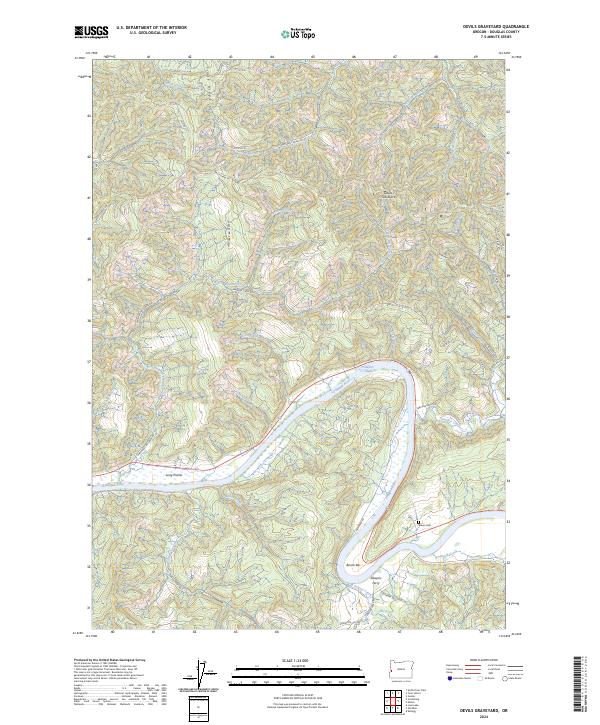
2024 Map of Devils Graveyard
USGS Topo · Published 2024About this map
The Umpqua River carves a deep, winding path through this corner of Douglas County, defining the landscape with sharp bends and natural features like Sawyers Rapids. Human presence is closely tied to the river's course, marked by riverside settlements such as Long Prairie and Bunch Bar. The presence of Sawyers Ferry and Henderer Rd indicates a long-standing pattern of transport and crossing points essential for connecting these isolated riverfront locales.
Find a feature on this map
50 named features on this map. Tap any name to fly to it.
Don’t see what you’re looking for? This feature index may not catch every label — zoom into the map to look around manually.
Map Details
Editions of this 2024 Devils Graveyard Map
This is the sole edition of this map. No revisions or reprints were ever made.
Other maps of this area

1919 · Earl
USGS Topo · 1:48,000

1942 · Roman Nose Mtn
USGS Topo · 1:62,500

1943 · Goodwin Peak
USGS Topo · 1:62,500

1945 · Roman Nose Mtn
USGS Topo · 1:62,500

1955 · Scottsburg
USGS Topo · 1:62,500

1955 · Elkton
USGS Topo · 1:62,500
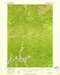
1956 · Goodwin Peak
USGS Topo · 1:62,500

1958 · Roseburg
USGS Topo · 1:250,000

1959 · Roseburg
USGS Topo · 1:250,000

1979 · Cottage Grove
USGS Topo · 1:100,000