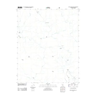
2012 Map of Devils Heart Peak
USGS Topo · Published 2012About this map
Devils Heart Peak and Topatopa Peak anchor this vertical landscape in Ventura County, where the steep drainages of the Los Padres National Forest converge. The drainage of Sespe Cr and its many tributaries, including Stone Corral Cr and Coldwater Fork, define the topography. Human presence is marked by a network of seasonal camps and springs that suggest a long history of backcountry use, from the McDonald Cabin and McDonald Camp in the north to the Cow Springs Campground further south. The map documents numerous water sources critical for high-elevation travel, such as Bucksnort Spring, Borracho Spring, and the Sespe Hot Springs. Geographic landmarks like Pigeon Flat, Dough Flat, and Cottriel Flat provide the only level breaks in an otherwise complex system of canyons and peaks.
Find a feature on this map
37 named features on this map. Tap any name to fly to it.
Don’t see what you’re looking for? This feature index may not catch every label — zoom into the map to look around manually.
Map Details
Editions of this 2012 Devils Heart Peak Map
This is the sole edition of this map. No revisions or reprints were ever made.
Other maps of this area

1900 · Piru
USGS Topo · 1:62,500

1903 · Santa Paula
USGS Topo · 1:62,500

1903 · Mt. Pinos
USGS Topo · 1:125,000

1903 · Tejon
USGS Topo · 1:125,000

1903 · Camulos
USGS Topo · 1:125,000

1921 · Piru
USGS Topo · 1:62,500

1938 · Black Mountain
USGS Topo · 1:24,000

1941 · Piru
USGS Topo · 1:62,500

1942 · Santa Paula
USGS Topo · 1:62,500

1943 · Topatopa Mountains
USGS Topo · 1:24,000