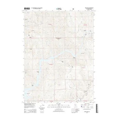
2015 Map of Devils Rock
USGS Topo · Published 2015About this map
The Shasta National Forest dominates this northern California landscape, where the Pit River and its Pit River Arm carve deep into the terrain. This 2015 survey reveals a wilderness area characterized by named peaks and ridges such as Chirpchatter Mtn, Brock Mtn, and the distinctive Devils Rock. The topography is defined by numerous drainages, including the Potem Cr which features the noteworthy Potem Falls.
Find a feature on this map
44 named features on this map. Tap any name to fly to it.
Don’t see what you’re looking for? This feature index may not catch every label — zoom into the map to look around manually.
Map Details
Editions of this 2015 Devils Rock Map
This is the sole edition of this map. No revisions or reprints were ever made.
Other maps of this area

1886 · Lassen Peak
USGS Topo · 1:250,000

1890 · Red Bluff
USGS Topo · 1:250,000

1892 · Lassen Peak
USGS Topo · 1:250,000

1894 · Lassen Peak
USGS Topo · 1:250,000

1894 · Red Bluff
USGS Topo · 1:250,000

1901 · Redding
USGS Topo · 1:125,000

1935 · Burney
USGS Topo · 1:96,000

1939 · Burney
USGS Topo · 1:125,000

1949 · Bollibokka Mtn
USGS Topo · 1:62,500

1953 · Millville
USGS Topo · 1:62,500