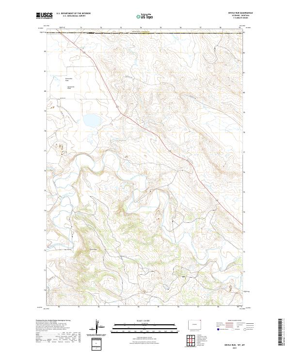
2021 Map of Devils Run
USGS Topo · Published 2021About this map
The Belle Fourche River winds through this expanse of the Wyoming and Montana borderlands, carving a path between Green Mtn and the open Stoneville Flats. The landscape is defined by its complex drainage network, where the primary river is joined by numerous named tributaries including Ripley Cr, Arkansas Cr, and Devils Run. This area in Crook County remains largely open ranch land or resource-based territory, evidenced by the presence of industrial infrastructure like Bentonite Rd and Bariod Rd, which hint at the region's mineral extraction history.
Find a feature on this map
26 named features on this map. Tap any name to fly to it.
Don’t see what you’re looking for? This feature index may not catch every label — zoom into the map to look around manually.
Map Details
Editions of this 2021 Devils Run Map
This is the sole edition of this map. No revisions or reprints were ever made.
Other maps of this area

1901 · Aladdin
USGS Topo · 1:125,000

1903 · Aladdin
USGS Topo · 1:125,000

1954 · Ekalaka
USGS Topo · 1:250,000

1954 · Gillette
USGS Topo · 1:250,000

1955 · Gillette
USGS Topo · 1:250,000

1956 · Ekalaka
USGS Topo · 1:250,000

1957 · Mona
USGS Topo · 1:62,500

1957 · Colony
USGS Topo · 1:62,500

1958 · Gillette
USGS Topo · 1:250,000

1958 · Ekalaka
USGS Topo · 1:250,000