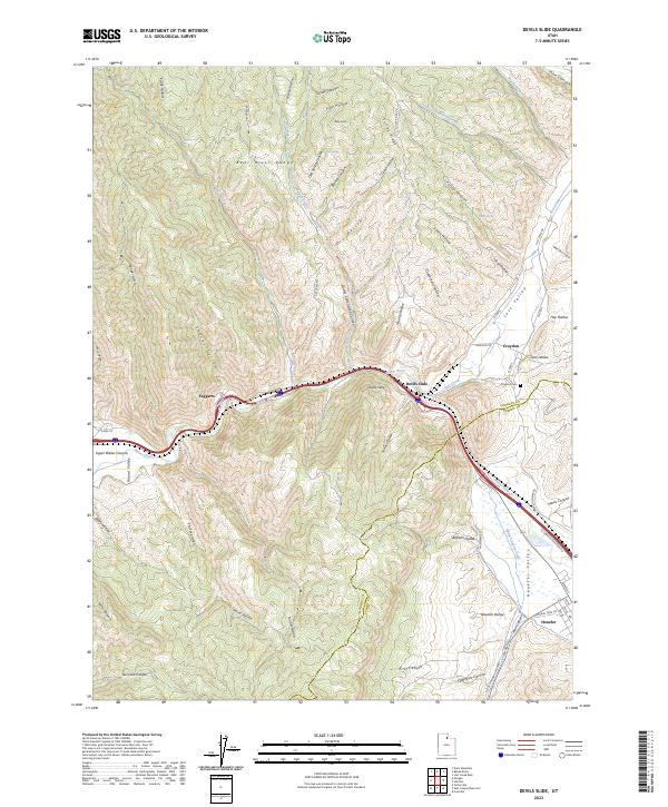
1961 Map of Devils Slide
USGS Topo · Published 1986About this map
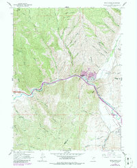
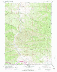
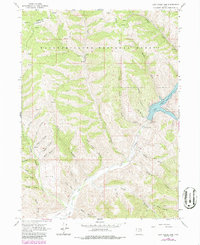
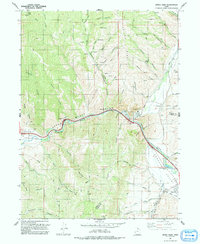
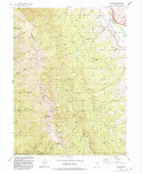
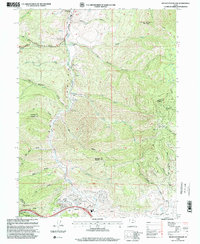
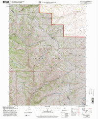
Industrial development and historic migration paths converge along the Weber River in this 1961 record of the Morgan and Summit County line. The unique limestone formation known as Devils Slide dominates the central canyon, flanked by a massive Cement Plant and several Quarry operations that define the local economy. To the south, the village of Henefer sits at a critical junction of the Union Pacific railroad and the historic Donner Reed Party Route, tracing the path of early emigrants through the Henefer Valley. Settlement patterns follow the narrow corridor of the river and rail, with Croydon and Taggarts tucked between steep terrain like Folley Ridge and Bolly Knob. The map also details numerous family-named landmarks and canyons, including Norwood Canyon and Stephens Canyon, which offer clues to the early ranching and homesteading history of this corner of the Wasatch Range.
Find a feature on this map
55 named features on this map. Tap any name to fly to it.
Don’t see what you’re looking for? This feature index may not catch every label — zoom into the map to look around manually.
Map Details
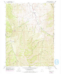
Editions of this 1961 Devils Slide Map
2 editions found
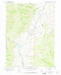
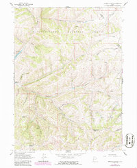
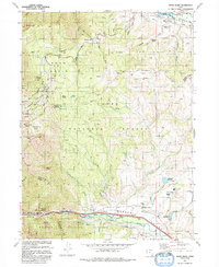
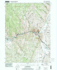
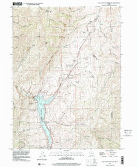
Historical Maps of Henefer Through Time
39 maps found
1955 Peterson
Morgan County, UT
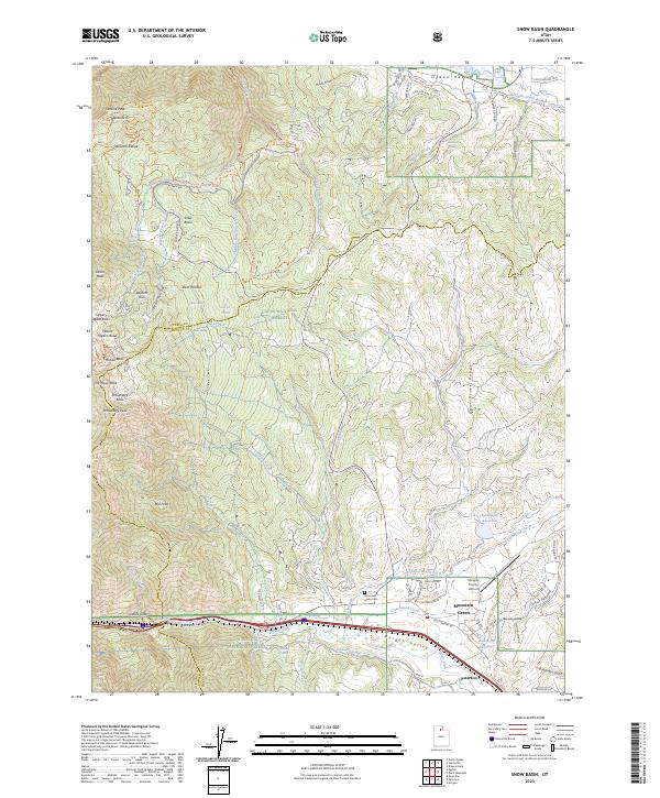
1955 Snow Basin
Morgan County, UT
1961 Big Dutch Hollow
Morgan County, UT
1961 Devils Slide
Morgan County, UT
1961 East Canyon Reservoir
Morgan County, UT
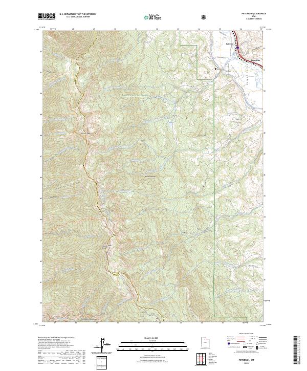
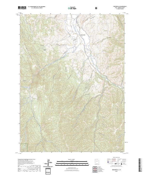
1961 Porterville
Morgan County, UT
1964 Francis Canyon
Morgan County, UT
1964 Lost Creek Dam
Morgan County, UT
1968 Peck Canyon
Morgan County, UT
1990 Bybee Knoll
Morgan County, UT
1990 Durst Mountain
Morgan County, UT
1991 Devils Slide
Morgan County, UT
1991 Francis Canyon
Morgan County, UT
1991 Lost Creek Dam
Morgan County, UT
1991 Peck Canyon
Morgan County, UT
1991 Peterson
Morgan County, UT
1992 Snow Basin
Morgan County, UT
1997 Devils Slide
Morgan County, UT
1997 East Canyon Reservoir
Morgan County, UT
1998 Big Dutch Hollow
Morgan County, UT
1998 Bybee Knoll
Morgan County, UT
1998 Durst Mountain
Morgan County, UT
1998 Francis Canyon
Morgan County, UT

1998 Lost Creek Dam
Morgan County, UT
1998 Peck Canyon
Morgan County, UT
1998 Peterson
Morgan County, UT
1998 Porterville
Morgan County, UT
1998 Snow Basin
Morgan County, UT
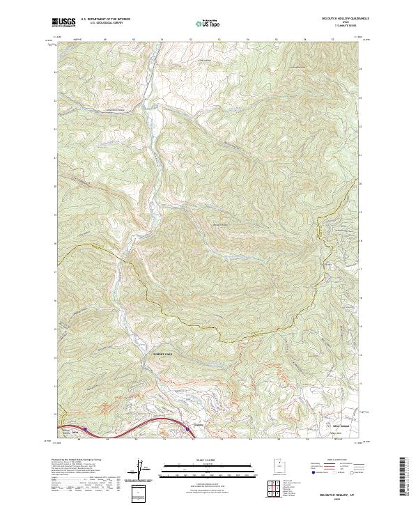
2023 Big Dutch Hollow
Morgan County, UT
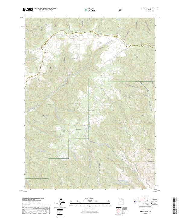
2023 Bybee Knoll
Morgan County, UT
2023 Devils Slide
Morgan County, UT
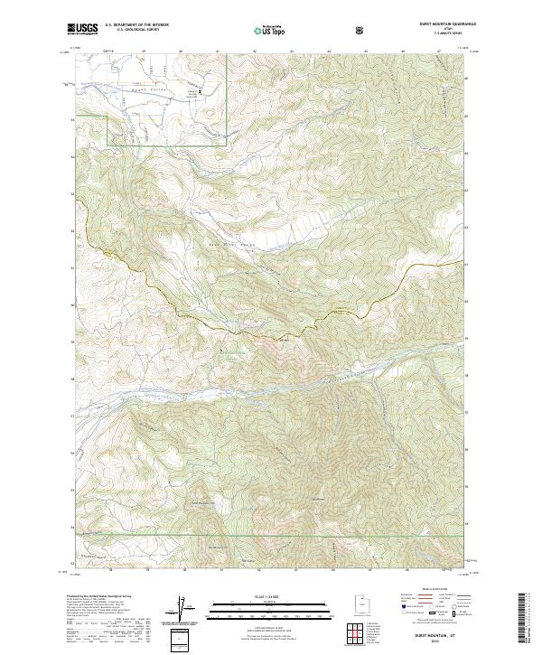
2023 Durst Mountain
Morgan County, UT
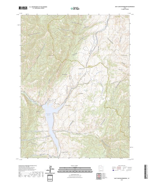
2023 East Canyon Reservoir
Morgan County, UT
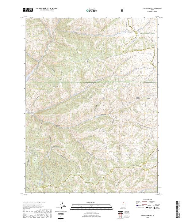
2023 Francis Canyon
Morgan County, UT
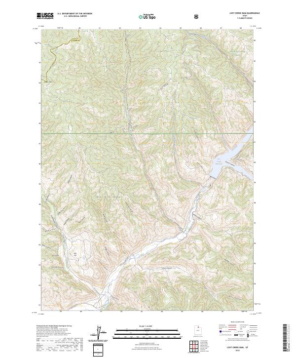
2023 Lost Creek Dam
Morgan County, UT
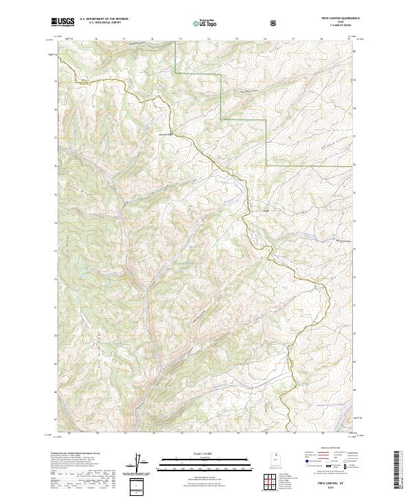
2023 Peck Canyon
Morgan County, UT
2023 Peterson
Morgan County, UT
2023 Porterville
Morgan County, UT
2023 Snow Basin
Morgan County, UT