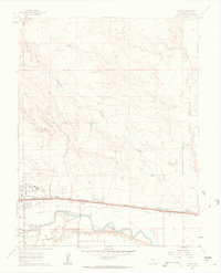
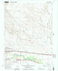
1960 Map of Devine
USGS Topo · Published 1963About this map
The Arkansas River serves as the central artery for this region of Pueblo County, Colorado, at a time when industrial and military operations shaped the local landscape. The sprawling Pueblo Ordnance Depot and the Pueblo Memorial Airport dominate the eastern and western horizons, reflecting the area's mid-century strategic importance. The valley floor is crisscrossed by vital infrastructure, including the Excelsior DITCH irrigation network and parallel rail lines of the Atchison Topeka and Sante Fe and Missouri Pacific railroads.
Find a feature on this map
27 named features on this map. Tap any name to fly to it.
Don’t see what you’re looking for? This feature index may not catch every label — zoom into the map to look around manually.
Map Details
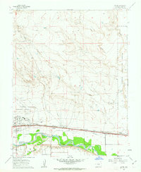
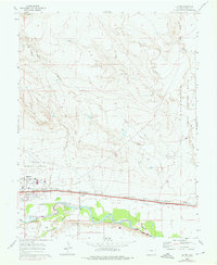
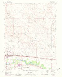
Editions of this 1960 Devine Map
5 editions found
Other maps of this area

1891 · Pueblo
USGS Topo · 1:125,000

1891 · Nepesta
USGS Topo · 1:125,000

1893 · Nepesta
USGS Topo · 1:125,000

1894 · Pueblo
USGS Topo · 1:125,000

1896 · Pueblo
USGS Topo · 1:125,000

1897 · Pueblo
USGS Topo · 1:125,000

1904 · Nepesta
USGS Topo · 1:125,000

1954 · Pueblo
USGS Topo · 1:250,000

1957 · Pueblo
USGS Topo · 1:250,000

1958 · Pueblo
USGS Topo · 1:250,000