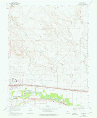
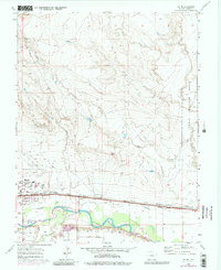
1960 Map of Devine
USGS Topo · Published 1976About this map
The Arkansas River corridor east of Pueblo serves as a vital artery of transportation and agriculture in this 1960 survey, updated in 1974. Parallel rail lines of the Atchison Topeka and Sante Fe and the Missouri Pacific follow the river valley, connecting the small settlements of Devine and Nyburg. The landscape is defined by an intricate network of irrigation, including the Excelsior Ditch and Pacific Ditch, which support the farming operations along the fertile river bottom. North of the valley, the terrain transitions to the arid expanses of the Pueblo Ordnance Depot and the industrial infrastructure surrounding the Pueblo Memorial Airport. This map captures the transition from the high-desert drainages of Chico Creek and Wolf Creek to the controlled water systems that drove the regional economy during the mid-20th century.
Find a feature on this map
25 named features on this map. Tap any name to fly to it.
Don’t see what you’re looking for? This feature index may not catch every label — zoom into the map to look around manually.
Map Details
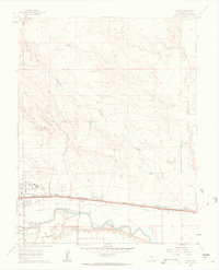
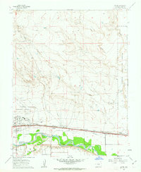
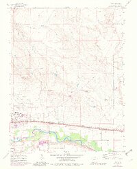
Editions of this 1960 Devine Map
5 editions found
Other maps of this area

1891 · Pueblo
USGS Topo · 1:125,000

1891 · Nepesta
USGS Topo · 1:125,000

1893 · Nepesta
USGS Topo · 1:125,000

1894 · Pueblo
USGS Topo · 1:125,000

1896 · Pueblo
USGS Topo · 1:125,000

1897 · Pueblo
USGS Topo · 1:125,000

1904 · Nepesta
USGS Topo · 1:125,000

1954 · Pueblo
USGS Topo · 1:250,000

1957 · Pueblo
USGS Topo · 1:250,000

1958 · Pueblo
USGS Topo · 1:250,000