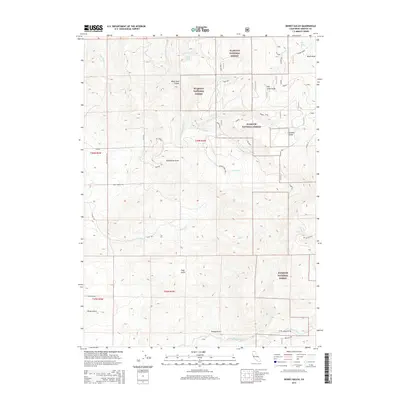
2015 Map of Dewey Gulch
USGS Topo · Published 2015About this map
Klamath National Forest defines the geography of this northern California terrain, where a network of watercourses and named glades provides a detailed record of the upland landscape. Named drainages like Dewey Gulch, Fogg Gulch, and Hovey Gulch descend toward the Little Shasta River in the south, while the northern reaches are dominated by Black Rock Canyon and the high point of Black Rock. The presence of Old Lady Glade and Chandler Glade suggests historical grazing or clearing patterns within the timbered forest. A complex system of natural springs, including Black Rock Spring, Poison Spring, and Gold Spring, underscores the critical importance of water sources in this high-elevation environment. Several forest roads, such as York Rd and Faith Rd, navigate the canyons and draws, while Kuck Ditch Draw indicates early efforts to manage water flow across the ridgelines.
Find a feature on this map
43 named features on this map. Tap any name to fly to it.
Don’t see what you’re looking for? This feature index may not catch every label — zoom into the map to look around manually.
Map Details
Editions of this 2015 Dewey Gulch Map
This is the sole edition of this map. No revisions or reprints were ever made.
Other maps of this area

1886 · Shasta
USGS Topo · 1:250,000

1894 · Shasta
USGS Topo · 1:250,000

1922 · Shasta Valley Sheet No 12
USGS Topo · 1:24,000

1922 · Shasta Valley Sheet No 13
USGS Topo · 1:24,000

1934 · Macdoel
USGS Topo · 1:96,000

1941 · Macdoel
USGS Topo · 1:125,000

1948 · Weed
USGS Topo · 1:250,000

1950 · Weed
USGS Topo · 1:250,000

1954 · The Whaleback
USGS Topo · 1:62,500

1954 · Macdoel
USGS Topo · 1:62,500