
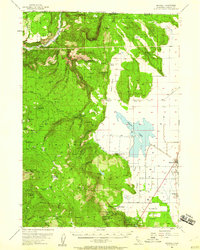
1954 Map of Macdoel
USGS Topo · Published 1956About this map
Macdoel and Mt Hebron anchor the eastern flats of the Shasta Valley in this mid-century survey, a landscape defined by the intersection of high-desert ranching and the Southern Pacific rail corridor. To the west, the Shasta National Forest rises sharply into the timbered slopes of Ball Mtn and Willow Creek Mtn. The map documents a period of transition in rural education, noting the Oak Grove Sch (Aban'd) and Spring Sch (Aban'd), while large-scale land holdings like the Meiss Ranch and Hessig Ranch remain prominent. The presence of Artesian Wells and the Pumping Sta at Meiss Lake illustrate the sophisticated water management required for agriculture in this arid region. From the Ball Mtn Lookout to the Shovel Creek Guard Sta, the map provides a look at forest management and irrigation infrastructure before modern developments shifted the local economy.
Find a feature on this map
71 named features on this map. Tap any name to fly to it.
Don’t see what you’re looking for? This feature index may not catch every label — zoom into the map to look around manually.
Map Details
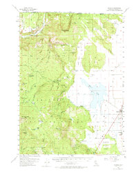
Editions of this 1954 Macdoel Map
3 editions found
Other maps of this area

1886 · Modoc Lava Bed
USGS Topo · 1:250,000

1886 · Shasta
USGS Topo · 1:250,000

1889 · Klamath
USGS Topo · 1:250,000

1891 · Ashland
USGS Topo · 1:250,000

1892 · Modoc Lava-Bed
USGS Topo · 1:250,000

1893 · Ashland
USGS Topo · 1:250,000

1894 · Klamath
USGS Topo · 1:250,000

1894 · Shasta
USGS Topo · 1:250,000

1897 · Ashland
USGS Topo · 1:250,000

1934 · Macdoel
USGS Topo · 1:96,000