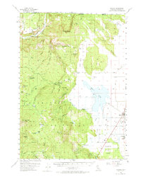
1954 Map of Macdoel
USGS Topo · Published 1974About this map
Macdoel and Mt Hebron anchor the eastern agricultural flats of this mid-century Siskiyou County landscape, where the Southern Pacific railroad runs parallel to a network of levees and artesian wells. The transition from the floor of Pleasant Valley to the timbered heights of the Klamath National Forest is marked by a series of family-named ranching operations, including Mills Ranch, Dysert Ranch, and Prather Ranch. These holdings reflect a long-standing pattern of high-altitude grazing and water management in a region defined by its volcanic peaks like McGavin Peak and Ball Mtn.
Find a feature on this map
78 named features on this map. Tap any name to fly to it.
Don’t see what you’re looking for? This feature index may not catch every label — zoom into the map to look around manually.
Map Details
Editions of this 1954 Macdoel Map
3 editions found

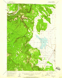
Other maps of this area

1886 · Modoc Lava Bed
USGS Topo · 1:250,000

1886 · Shasta
USGS Topo · 1:250,000

1889 · Klamath
USGS Topo · 1:250,000

1891 · Ashland
USGS Topo · 1:250,000

1892 · Modoc Lava-Bed
USGS Topo · 1:250,000

1893 · Ashland
USGS Topo · 1:250,000

1894 · Klamath
USGS Topo · 1:250,000

1894 · Shasta
USGS Topo · 1:250,000

1897 · Ashland
USGS Topo · 1:250,000

1934 · Macdoel
USGS Topo · 1:96,000