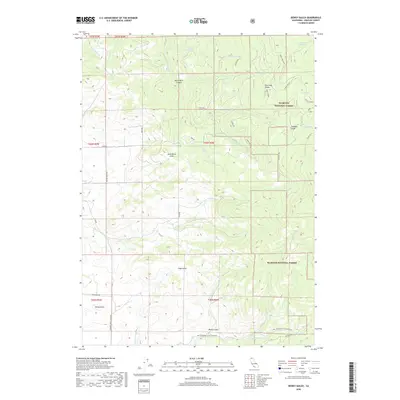
2018 Map of Dewey Gulch
USGS Topo · Published 2018About this map
The high-elevation landscape of the Klamath National Forest dominates this topographic study, revealing a complex network of canyons and gulches defined by the headwaters of the Little Shasta River. In the southern reaches of the map, the Ball Mountain Little Shasta Rd provides access to the drainage near Dewey Gulch, while several other named gulches like Fogg Gulch and Hovey Gulch characterize the steep, dissected terrain.
Find a feature on this map
44 named features on this map. Tap any name to fly to it.
Don’t see what you’re looking for? This feature index may not catch every label — zoom into the map to look around manually.
Map Details
Editions of this 2018 Dewey Gulch Map
This is the sole edition of this map. No revisions or reprints were ever made.
Other maps of this area

1886 · Shasta
USGS Topo · 1:250,000

1894 · Shasta
USGS Topo · 1:250,000

1922 · Shasta Valley Sheet No 12
USGS Topo · 1:24,000

1922 · Shasta Valley Sheet No 13
USGS Topo · 1:24,000

1934 · Macdoel
USGS Topo · 1:96,000

1941 · Macdoel
USGS Topo · 1:125,000

1948 · Weed
USGS Topo · 1:250,000

1950 · Weed
USGS Topo · 1:250,000

1954 · The Whaleback
USGS Topo · 1:62,500

1954 · Macdoel
USGS Topo · 1:62,500