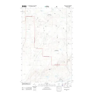
2013 Map of Dewey Lake SE
USGS Topo · Published 2013About this map
Superior National Forest encompasses much of this Iron Range landscape, where the Laurentian Divide splits the continent's waters. The map details a transition from the wilder northern reaches of the E Br Sturgeon River and Moska Lake toward the industrial signatures of the south. Evidence of the region’s mining heritage appears at the Wabigone Tailings Basin and Croxton Pond, while the Buhl Lookout Tower stands as a sentinel over the rising terrain.
Find a feature on this map
25 named features on this map. Tap any name to fly to it.
Don’t see what you’re looking for? This feature index may not catch every label — zoom into the map to look around manually.
Map Details
Editions of this 2013 Dewey Lake SE Map
This is the sole edition of this map. No revisions or reprints were ever made.
Other maps of this area

1951 · Kinney
USGS Topo · 1:24,000

1951 · Kirk
USGS Topo · 1:24,000

1951 · Hibbing
USGS Topo · 1:24,000

1951 · Buhl
USGS Topo · 1:24,000

1952 · Idington
USGS Topo · 1:24,000

1954 · Hibbing
USGS Topo · 1:250,000

1955 · Dark Lake
USGS Topo · 1:24,000

1955 · Dewey Lake SE
USGS Topo · 1:24,000

1955 · Dewey Lake NW
USGS Topo · 1:24,000

1955 · Dewey Lake
USGS Topo · 1:24,000