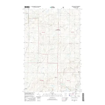
2016 Map of Dewey Lake SE
USGS Topo · Published 2016About this map
The Laurentian Divide cuts through this portion of the Iron Range, marking a significant hydrological boundary where waters flow toward either the Hudson Bay or the Great Lakes. This 2016 survey highlights the industrial legacy of the region near Kinney and Buhl, notably through the presence of the Wabigone Tailings Basin, which reflects the long history of iron mining in Saint Louis County.
Find a feature on this map
49 named features on this map. Tap any name to fly to it.
Don’t see what you’re looking for? This feature index may not catch every label — zoom into the map to look around manually.
Map Details
Editions of this 2016 Dewey Lake SE Map
This is the sole edition of this map. No revisions or reprints were ever made.
Other maps of this area

1951 · Kinney
USGS Topo · 1:24,000

1951 · Kirk
USGS Topo · 1:24,000

1951 · Hibbing
USGS Topo · 1:24,000

1951 · Buhl
USGS Topo · 1:24,000

1952 · Idington
USGS Topo · 1:24,000

1954 · Hibbing
USGS Topo · 1:250,000

1955 · Dark Lake
USGS Topo · 1:24,000

1955 · Dewey Lake SE
USGS Topo · 1:24,000

1955 · Dewey Lake NW
USGS Topo · 1:24,000

1955 · Dewey Lake
USGS Topo · 1:24,000