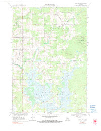
1970 Map of Dewey Marsh
USGS Topo · Published 1990About this map
Dewey Marsh dominates this landscape along the border of Marathon and Portage counties, creating a complex wetland environment where the Little Eau Claire River and Hay Meadow Creek converge. The topography of 1970 reveals a fascinating mix of low-lying marshland and abrupt glacial rises. One of the most distinctive features is the Philippine Islands, a series of small landforms rising out of the marsh waters, while to the northeast, Blackberry Hill stands as a prominent high point.
Find a feature on this map
17 named features on this map. Tap any name to fly to it.
Don’t see what you’re looking for? This feature index may not catch every label — zoom into the map to look around manually.
Map Details
Editions of this 1970 Dewey Marsh Map
2 editions found
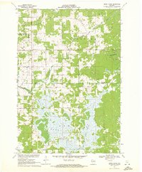
Other maps of this area

1899 · Wausau
USGS Topo · 1:125,000

1902 · Wausau
USGS Topo · 1:125,000

1953 · Wausau
USGS Topo · 1:48,000

1953 · Hatley
USGS Topo · 1:48,000

1955 · Rosholt
USGS Topo · 1:48,000

1955 · Green Bay
USGS Topo · 1:250,000

1956 · Stevens Point
USGS Topo · 1:48,000

1963 · Wausau
USGS Topo · 1:62,500

1964 · Hatley
USGS Topo · 1:62,500

1969 · Rosholt NW
USGS Topo · 1:24,000