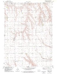
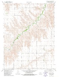
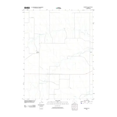
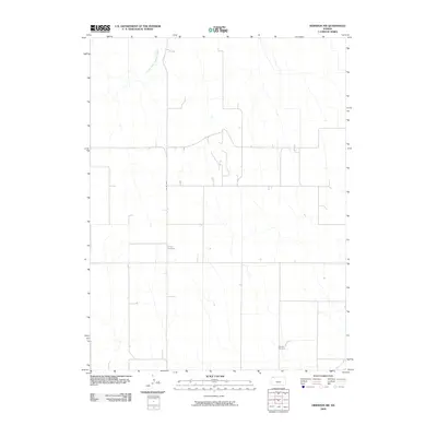
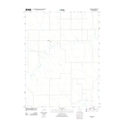
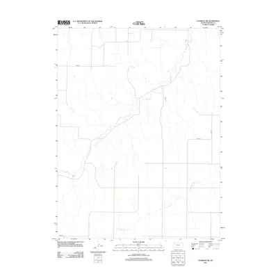
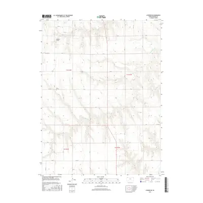
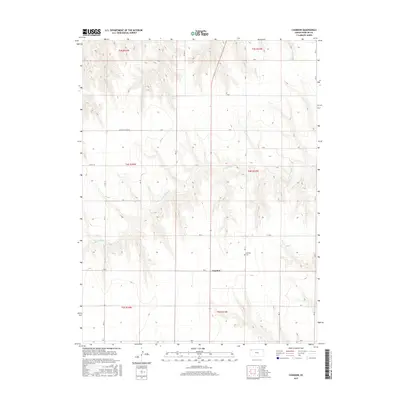
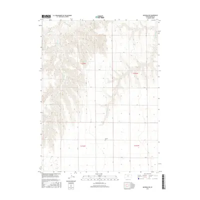
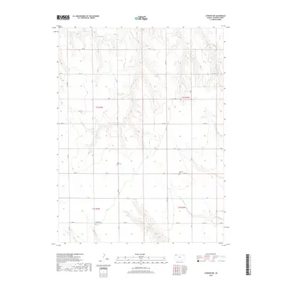
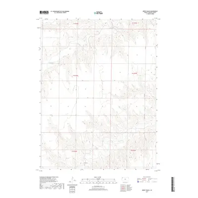
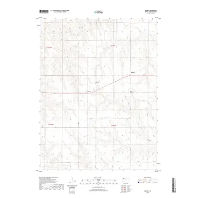
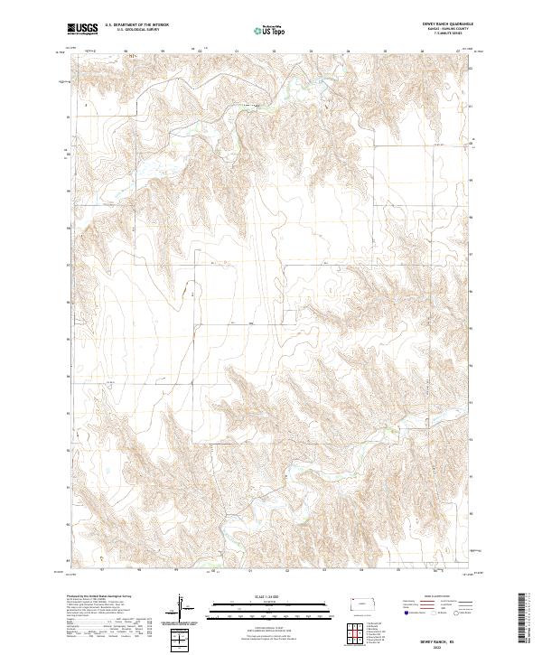
1981 Map of Dewey Ranch
USGS Topo · Published 1981About this map
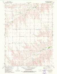
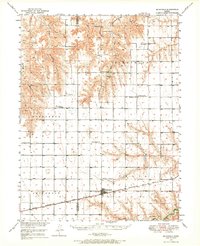
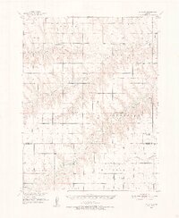
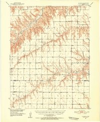
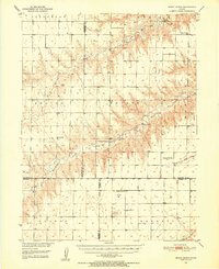
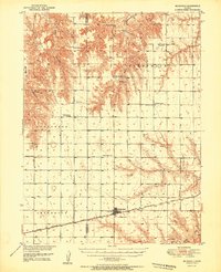
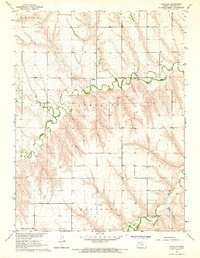
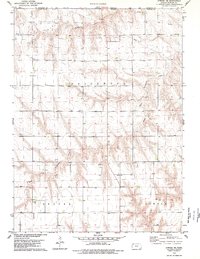
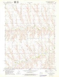
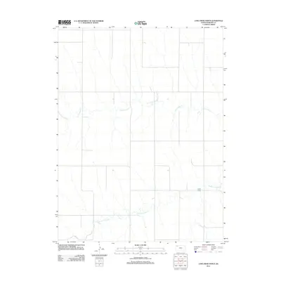
Beaver Creek and Little Beaver Creek carve a series of sharp, winding valleys through the high plains of Rawlins County in the early 1980s. This agricultural landscape is defined by the namesake Dewey Ranch, which sits near the southern confluence of these seasonal waterways. The map illustrates a region managed through precise land divisions, noted by the township boundaries of Celia, Mirage, and Rotate. Beyond the ranching operations, the survey documents several industrial and utility sites, including a Quarry in the western hills and scattered infrastructure such as a Drill Hole and numerous water wells. These features highlight the importance of groundwater management and small-scale resource extraction in sustaining life and industry on the Kansas prairie.
Find a feature on this map
9 named features on this map. Tap any name to fly to it.
Don’t see what you’re looking for? This feature index may not catch every label — zoom into the map to look around manually.
Map Details
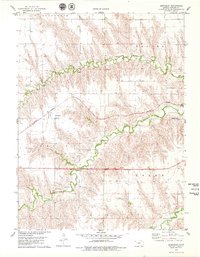
Editions of this 1981 Dewey Ranch Map
This is the sole edition of this map. No revisions or reprints were ever made.
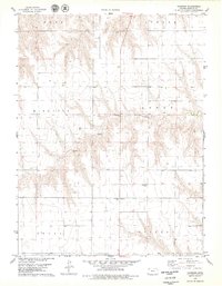
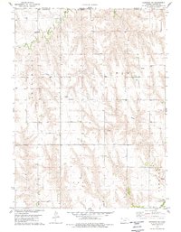
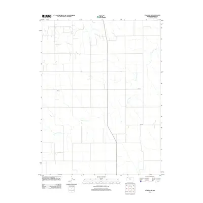
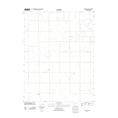
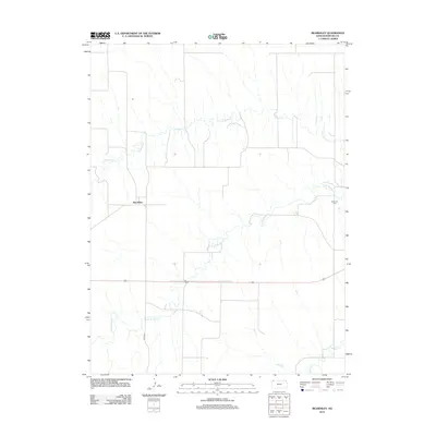
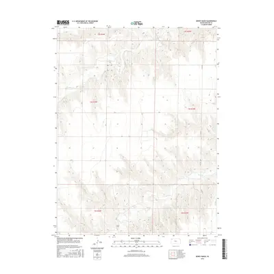
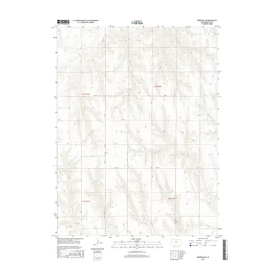
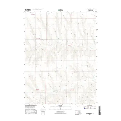
Historical Maps of Rawlins County Through Time
72 maps found
1950 Mc Donald
Rawlins County, KS
1951 Achilles
Rawlins County, KS
1951 Chardon
Rawlins County, KS
1951 Dewey Ranch
Rawlins County, KS
1951 Mc Donald
Rawlins County, KS
1965 Achilles
Rawlins County, KS
1978 Atwood NE
Rawlins County, KS
1978 Atwood NW
Rawlins County, KS
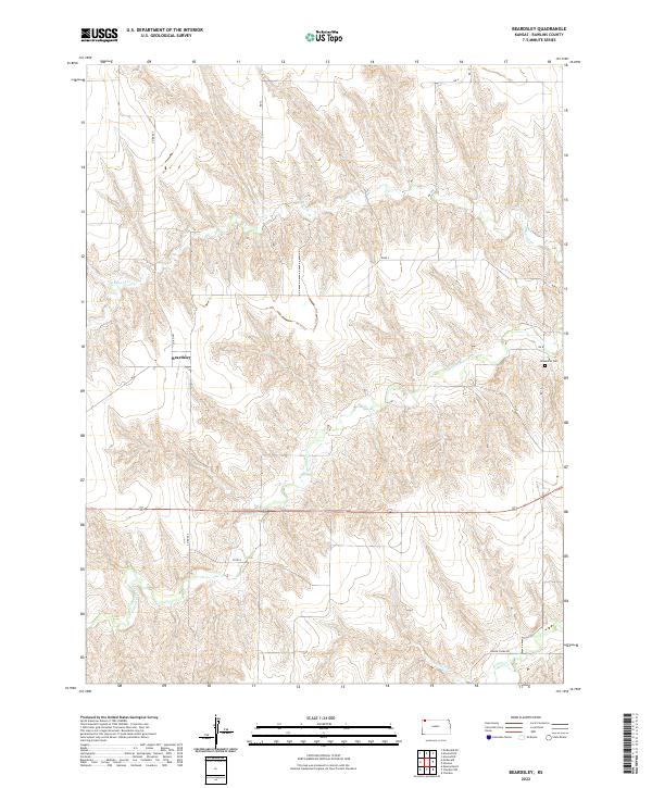
1978 Beardsley
Rawlins County, KS
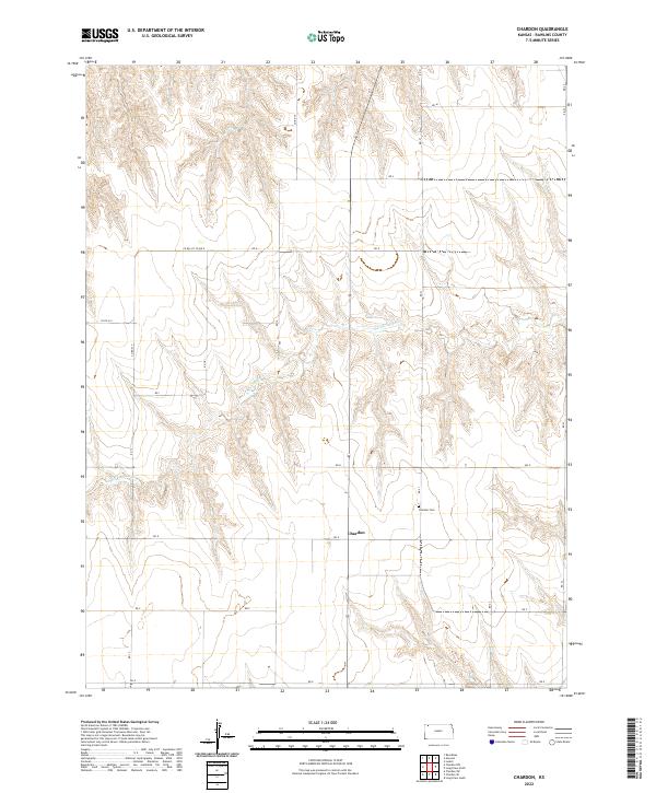
1978 Chardon
Rawlins County, KS
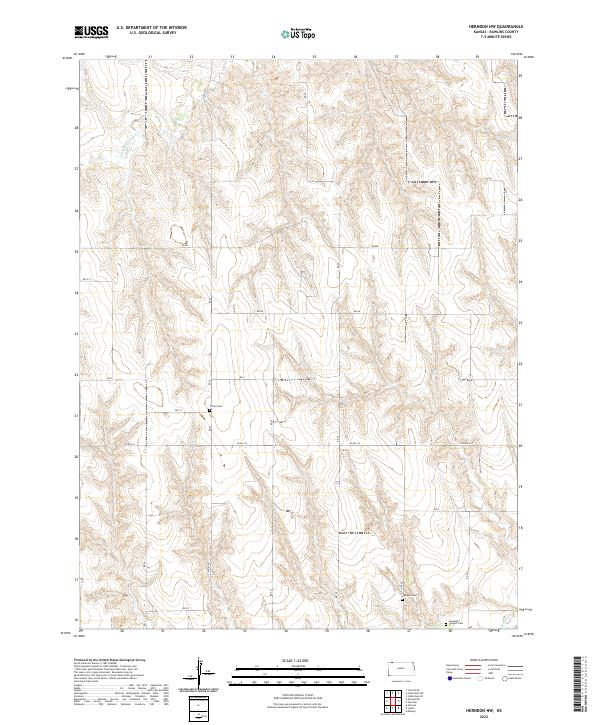
1978 Herndon NW
Rawlins County, KS
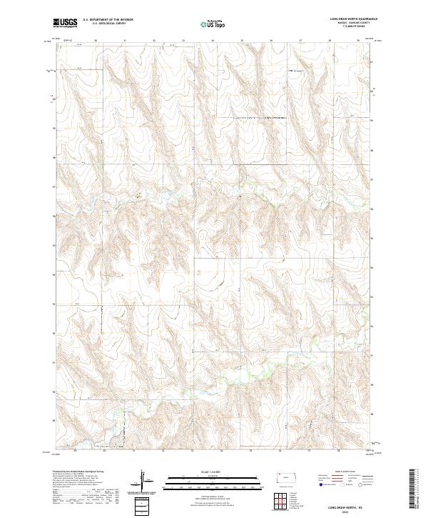
1978 Long Draw North
Rawlins County, KS
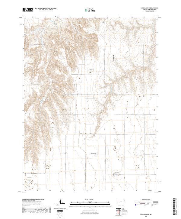
1978 Mc Donald NE
Rawlins County, KS
1978 Mc Donald
Rawlins County, KS
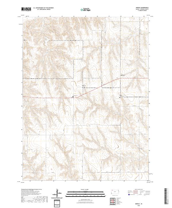
1978 Midway
Rawlins County, KS
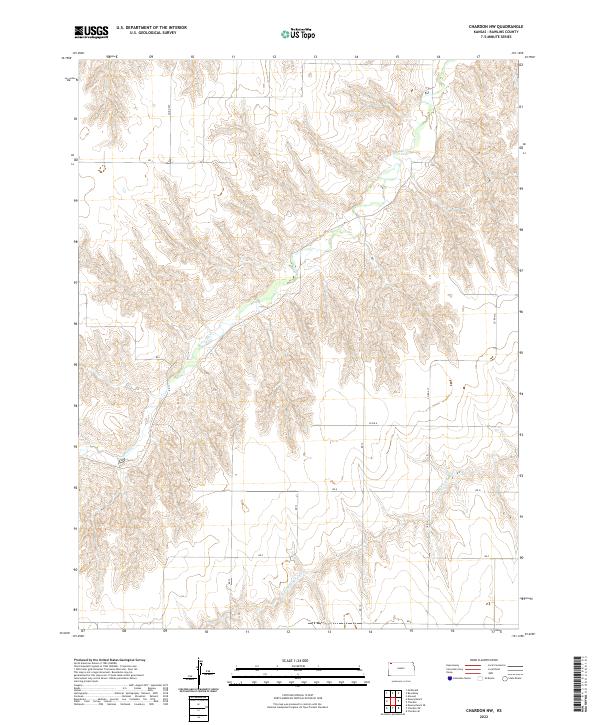
1981 Chardon NW
Rawlins County, KS
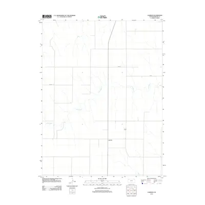
1981 Dewey Ranch
Rawlins County, KS
2009 Achilles
Rawlins County, KS
2009 Atwood NE
Rawlins County, KS
2009 Atwood NW
Rawlins County, KS
2009 Beardsley
Rawlins County, KS
2009 Chardon NW
Rawlins County, KS
2009 Chardon
Rawlins County, KS
2009 Dewey Ranch
Rawlins County, KS
2009 Herndon NW
Rawlins County, KS
2009 Long Draw North
Rawlins County, KS
2009 McDonald NE
Rawlins County, KS
2009 Midway
Rawlins County, KS
2012 Achilles
Rawlins County, KS
2012 Atwood NE
Rawlins County, KS
2012 Atwood NW
Rawlins County, KS
2012 Beardsley
Rawlins County, KS
2012 Chardon NW
Rawlins County, KS
2012 Chardon
Rawlins County, KS
2012 Dewey Ranch
Rawlins County, KS
2012 Herndon NW
Rawlins County, KS
2012 Long Draw North
Rawlins County, KS
2012 McDonald NE
Rawlins County, KS
2012 Midway
Rawlins County, KS
2015 Achilles
Rawlins County, KS
2015 Atwood NE
Rawlins County, KS
2015 Atwood NW
Rawlins County, KS
2015 Beardsley
Rawlins County, KS
2015 Chardon NW
Rawlins County, KS
2015 Chardon
Rawlins County, KS
2015 Dewey Ranch
Rawlins County, KS
2015 Herndon NW
Rawlins County, KS
2015 Long Draw North
Rawlins County, KS
2015 McDonald NE
Rawlins County, KS
2015 Midway
Rawlins County, KS
2018 Achilles
Rawlins County, KS
2018 Atwood NE
Rawlins County, KS
2018 Atwood NW
Rawlins County, KS
2018 Beardsley
Rawlins County, KS
2018 Chardon NW
Rawlins County, KS
2018 Chardon
Rawlins County, KS
2018 Dewey Ranch
Rawlins County, KS
2018 Herndon NW
Rawlins County, KS
2018 Long Draw North
Rawlins County, KS
2018 McDonald NE
Rawlins County, KS
2018 Midway
Rawlins County, KS
2022 Achilles
Rawlins County, KS
2022 Atwood NE
Rawlins County, KS
2022 Atwood NW
Rawlins County, KS
2022 Beardsley
Rawlins County, KS
2022 Chardon NW
Rawlins County, KS
2022 Chardon
Rawlins County, KS
2022 Dewey Ranch
Rawlins County, KS
2022 Herndon NW
Rawlins County, KS
2022 Long Draw North
Rawlins County, KS
2022 McDonald NE
Rawlins County, KS
2022 Midway
Rawlins County, KS