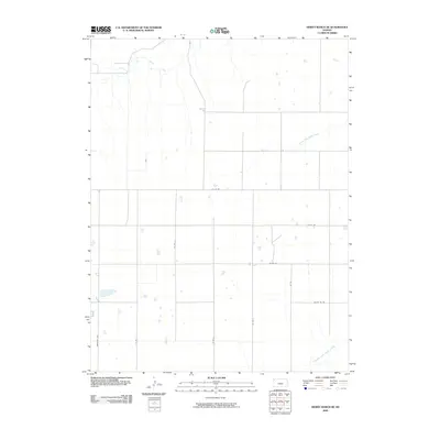
2009 Map of Dewey Ranch SE
USGS Topo · Published 2009About this map
Beaver Creek and the bifurcated forks of the Sappa Creek define this agricultural section of Rawlins County. The landscape is characterized by a strict section-line road grid, which organizes the high plains into a precise network of transport and land management. The North Fork Sappa Creek meanders across the northern half of the quadrangle, while the Middle Fork Sappa Creek clips the southeastern corner, illustrating the vital drainage systems of the region.
Find a feature on this map
13 named features on this map. Tap any name to fly to it.
Don’t see what you’re looking for? This feature index may not catch every label — zoom into the map to look around manually.
Map Details
Editions of this 2009 Dewey Ranch SE Map
This is the sole edition of this map. No revisions or reprints were ever made.
Other maps of this area

1943 · Colby
USGS Topo · 1:62,500

1951 · Chardon
USGS Topo · 1:62,500

1951 · Dewey Ranch
USGS Topo · 1:62,500

1954 · Goodland
USGS Topo · 1:250,000

1956 · Goodland
USGS Topo · 1:250,000

1957 · Goodland
USGS Topo · 1:250,000

1966 · Brewster NW
USGS Topo · 1:24,000

1967 · Brewster NE
USGS Topo · 1:24,000

1967 · Levant
USGS Topo · 1:24,000
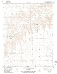
1981 · Dewey Ranch SW
USGS Topo · 1:24,000