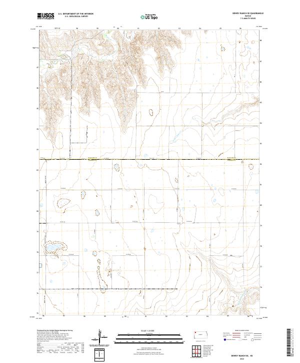
2022 Map of Dewey Ranch SE
USGS Topo · Published 2022About this map
Beaver Cr meanders across the northern reaches of this High Plains landscape, marking the boundary between Rawlins and Thomas Counties. This area of northwest Kansas is defined by a rigorous section-line road grid, where travel follows the precise cardinal directions of the Public Land Survey System. The topography is predominantly open upland, bisected by the drainages of the N Fork Sappa Cr and Middle Fork Sappa Cr. Transportation in the western portion of the quadrangle is anchored by the Brewster Hwy, while a network of rural routes such as RD 8 and Co RD BB connect the scattered agricultural holdings. The map illustrates the enduring spatial organization of Kansas ranching and farming country, where the intersection of township and range lines dictates the placement of roads and property boundaries.
Find a feature on this map
23 named features on this map. Tap any name to fly to it.
Don’t see what you’re looking for? This feature index may not catch every label — zoom into the map to look around manually.
Map Details
Editions of this 2022 Dewey Ranch SE Map
This is the sole edition of this map. No revisions or reprints were ever made.
Other maps of this area

1943 · Colby
USGS Topo · 1:62,500

1951 · Chardon
USGS Topo · 1:62,500

1951 · Dewey Ranch
USGS Topo · 1:62,500

1954 · Goodland
USGS Topo · 1:250,000

1956 · Goodland
USGS Topo · 1:250,000

1957 · Goodland
USGS Topo · 1:250,000

1966 · Brewster NW
USGS Topo · 1:24,000

1967 · Brewster NE
USGS Topo · 1:24,000

1967 · Levant
USGS Topo · 1:24,000
1981 · Dewey Ranch SW
USGS Topo · 1:24,000