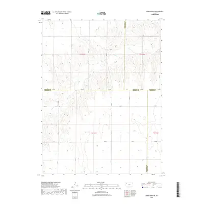
2018 Map of Dewey Ranch SW
USGS Topo · Published 2018About this map
Beaver Cr meanders through the high plains of northwest Kansas, carving a distinct drainage pattern across this 2018 survey. The landscape is defined by the convergence of four counties—Cheyenne, Rawlins, Sherman, and Thomas—creating a complex web of jurisdictional boundaries and section lines. The topography reveals the subtle but persistent erosion of the plains, where the creek's path is flanked by intricate contours that mark the local relief.
Find a feature on this map
30 named features on this map. Tap any name to fly to it.
Don’t see what you’re looking for? This feature index may not catch every label — zoom into the map to look around manually.
Map Details
Editions of this 2018 Dewey Ranch SW Map
This is the sole edition of this map. No revisions or reprints were ever made.
Other maps of this area

1951 · Bird City South
USGS Topo · 1:62,500

1951 · Dewey Ranch
USGS Topo · 1:62,500

1954 · Goodland
USGS Topo · 1:250,000

1956 · Goodland
USGS Topo · 1:250,000

1957 · Goodland
USGS Topo · 1:250,000

1966 · Goodland NE
USGS Topo · 1:24,000

1966 · Brewster NW
USGS Topo · 1:24,000

1967 · Brewster NE
USGS Topo · 1:24,000
1981 · Dewey Ranch SW
USGS Topo · 1:24,000
1981 · Dewey Ranch
USGS Topo · 1:24,000