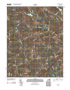
2010 Map of DeWitt
USGS Topo · Published 2010About this map
DeWitt and Butterworth serve as the primary hubs in this part of Dinwiddie County, where a network of rural roads connects established family properties and local landmarks. The landscape is defined by the drainage systems of Sappony Creek and Butterwood Creek, which feed into several managed water bodies including Wheelers Pond and Colemans Lake. These sites, along with Coleman Dam and Wheelers Dam, indicate a long history of water management for local agricultural or industrial needs.
Find a feature on this map
49 named features on this map. Tap any name to fly to it.
Don’t see what you’re looking for? This feature index may not catch every label — zoom into the map to look around manually.
Map Details
Editions of this 2010 DeWitt Map
This is the sole edition of this map. No revisions or reprints were ever made.
Other maps of this area

1897 · Amelia
USGS Topo · 1:125,000

1918 · Lawrenceville
USGS Topo · 1:62,500

1919 · Mc Kenney
USGS Topo · 1:48,000

1920 · Lawrenceville
USGS Topo · 1:48,000

1921 · Mc Kenney
USGS Topo · 1:62,500

1921 · Lawrenceville
USGS Topo · 1:62,500

1942 · Lawrenceville
USGS Topo · 1:62,500

1943 · Mc Kenney
USGS Topo · 1:62,500

1943 · De Witt
USGS Topo · 1:24,000

1943 · Dinwiddie
USGS Topo · 1:24,000