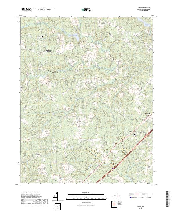
2022 Map of DeWitt
USGS Topo · Published 2022About this map
DeWitt and its surrounding rural landscapes in Dinwiddie County are defined by a network of creeks and family-named cemeteries that speak to generations of local settlement. The terrain is intricately carved by waterways such as Stony Cr, Butterwood Cr, and Sappony Cr, which weave through the agricultural and wooded plots of south-central Virginia. Small crossroads and clusters of activity are found at Baltimore Corner, Gunns Hill, and Butterworth, often situated near historic transit corridors like Boydton Plank Rd.
Find a feature on this map
56 named features on this map. Tap any name to fly to it.
Don’t see what you’re looking for? This feature index may not catch every label — zoom into the map to look around manually.
Map Details
Editions of this 2022 DeWitt Map
This is the sole edition of this map. No revisions or reprints were ever made.
Other maps of this area

1897 · Amelia
USGS Topo · 1:125,000

1918 · Lawrenceville
USGS Topo · 1:62,500

1919 · Mc Kenney
USGS Topo · 1:48,000

1920 · Lawrenceville
USGS Topo · 1:48,000

1921 · Mc Kenney
USGS Topo · 1:62,500

1921 · Lawrenceville
USGS Topo · 1:62,500

1942 · Lawrenceville
USGS Topo · 1:62,500

1943 · Mc Kenney
USGS Topo · 1:62,500

1943 · De Witt
USGS Topo · 1:24,000

1943 · Dinwiddie
USGS Topo · 1:24,000