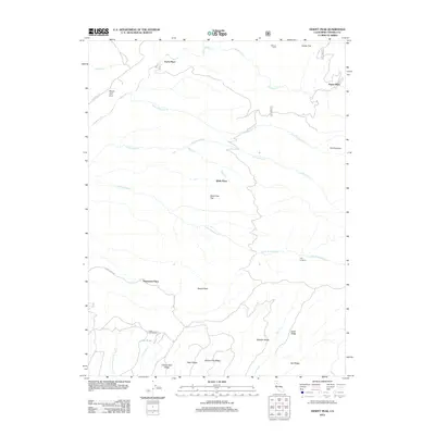
2012 Map of Dewitt Peak
USGS Topo · Published 2012About this map
Dewitt Peak rises as a central landmark over this portion of Tehama County, where the landscape is defined by long, parallel ridges and seasonal watercourses. The 2012 topographic record reveals a pattern of dispersed rural holdings and family-named landmarks, such as the Facht Homestead and Thompson Place. These sites, along with Wells Place and Payne Place, reflect the region's agricultural and ranching heritage. Several drainages including Antelope Cr and Little Antelope Cr cut through the terrain, separated by prominent high ground like Speegle Ridge and Greer Ridge. A notable remote crossing, the P-38 Crossing, and isolated features like Arts Pond and The Vineyard highlight the character of this interior landscape before it descends toward the Sacramento Valley.
Find a feature on this map
30 named features on this map. Tap any name to fly to it.
Don’t see what you’re looking for? This feature index may not catch every label — zoom into the map to look around manually.
Map Details
Editions of this 2012 Dewitt Peak Map
This is the sole edition of this map. No revisions or reprints were ever made.
Other maps of this area

1886 · Lassen Peak
USGS Topo · 1:250,000

1890 · Red Bluff
USGS Topo · 1:250,000

1892 · Lassen Peak
USGS Topo · 1:250,000

1894 · Lassen Peak
USGS Topo · 1:250,000

1894 · Red Bluff
USGS Topo · 1:250,000

1905 · Tehama
USGS Topo · 1:62,500

1935 · Paynes Creek
USGS Topo · 1:96,000

1941 · Mineral
USGS Topo · 1:125,000

1944 · Tuscan Buttes
USGS Topo · 1:62,500

1947 · Tuscan Buttes
USGS Topo · 1:62,500